|
|
|||||||||||||||||||||||||||||||||||||||||||||||||||||||||||||||||||||||
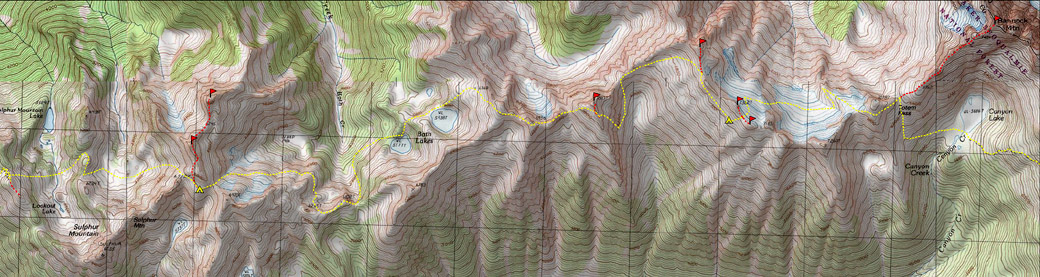
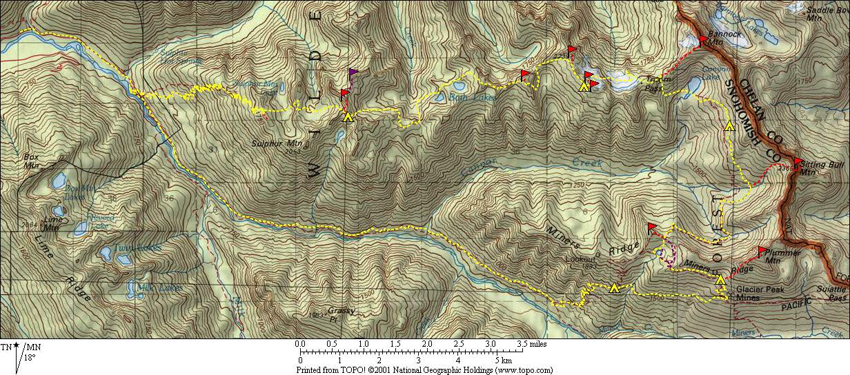
Bath Lakes High Route(USGS Downey Mtn, Lime Mtn, Gamma Peak, Suiattle Pass, Agnes Mtn;GT Glacier Peak, Holden, McGregor, Cascade Pass)July 15-20, 2005 |
|||||||||||||||||||||||||||||||||||||||||||||||||||||||||||||||||||||||
|
|
|||||||||||||||||||||||||||||||||||||||||||||||||||||||||||||||||||||||
|
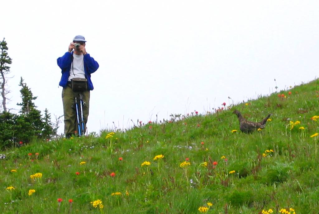
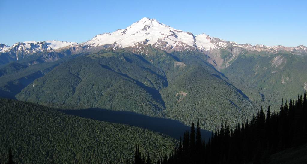
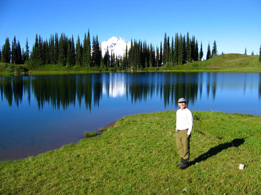
Party: Matt Burton, Mike Torok Introduction: The Bath Lakes High Route follows a ridge of 7000-foot peaks in the heart of the Cascades, but the ridge is unnamed, little-traveled, and little-known, so here are some ways to describe it:
|
|||||||||||||||||||||||||||||||||||||||||||||||||||||||||||||||||||||||
|
|
|||||||||||||||||||||||||||||||||||||||||||||||||||||||||||||||||||||||
|
|
|||||||||||||||||||||||||||||||||||||||||||||||||||||||||||||||||||||||
|
|
|||||||||||||||||||||||||||||||||||||||||||||||||||||||||||||||||||||||
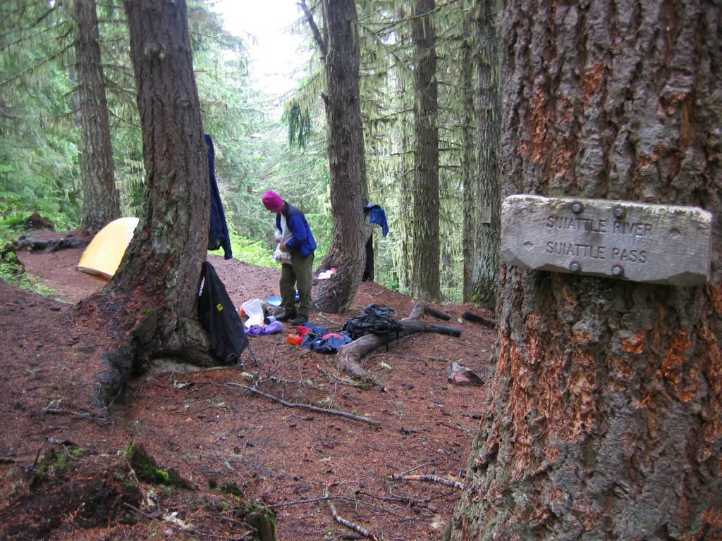
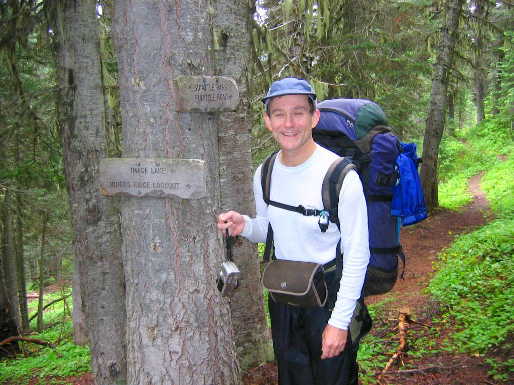
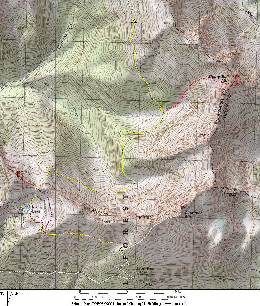
Day OneSuiattle River Trail (1800) to Miner’s Ridge Trail (2800) to Miner’s Junction Camp (4800)
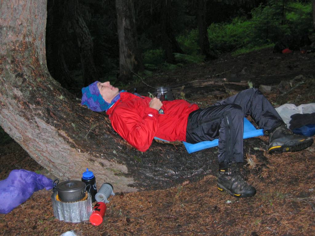
We started with the low end of the route due to fear of rain. The fear was well-founded. The day went from humid to drizzling to raining to just plain wet.
We had originally planned to begin with the high part of the route, but decided to reverse our loop and begin low due to rain and clouds. It rained the first day, and the clouds didn’t clear till the end of the second day, so we were glad not to be trying to navigate the high country.
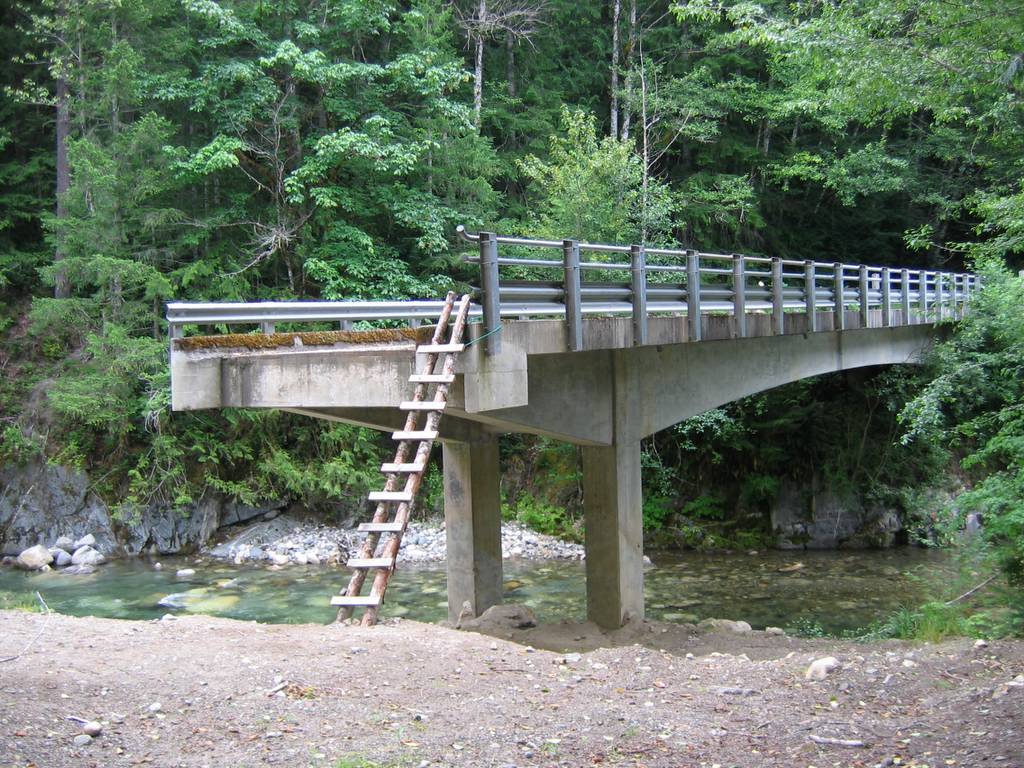
To reach the trailhead (1800 feet), we had to hike the last 2¼ miles of the Suiattle River Road, because it’s closed where the Downey Creek bridge washed out in the October 2003 floods. To cross Downey Creek, we climbed the makeshift ladder from the shore up onto the concrete bridge, which is standing in the middle of the creek with no approach ramp on its west end. Then we hiked Suiattle River Trail #784 along the river for 10.8 miles to Miner’s RidgeTrail #785 (2800 feet). During the first few miles along the river, we had to go around four washouts. Below we could see the river running gray with the huge amount of silt that washes down from Glacier Peak.
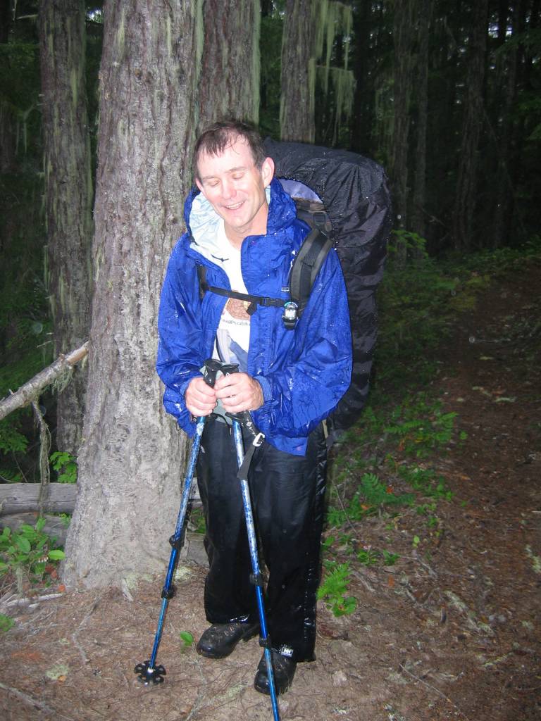
Matt wet and tired at camp, but at least I have tea. 9:30 hours, 15.5 miles, 3380 gain.
|
|||||||||||||||||||||||||||||||||||||||||||||||||||||||||||||||||||||||
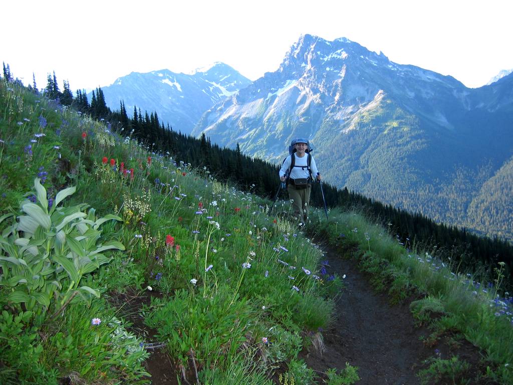
Day TwoMiner’s Junction Camp (4800) to Lady Camp (6200) to Plummer (7870).
|
|||||||||||||||||||||||||||||||||||||||||||||||||||||||||||||||||||||||
|
All morning long, the rain continued to drum on the tent,
so we just stayed in bed till 11:30. Well, at least the 14-hour nap helped me
catch up on my sleep deficit. It was still misty and damp as we headed up the
trail to the junction with the Suiattle Pass trail, and then up to Lady Camp
at 6200 feet.
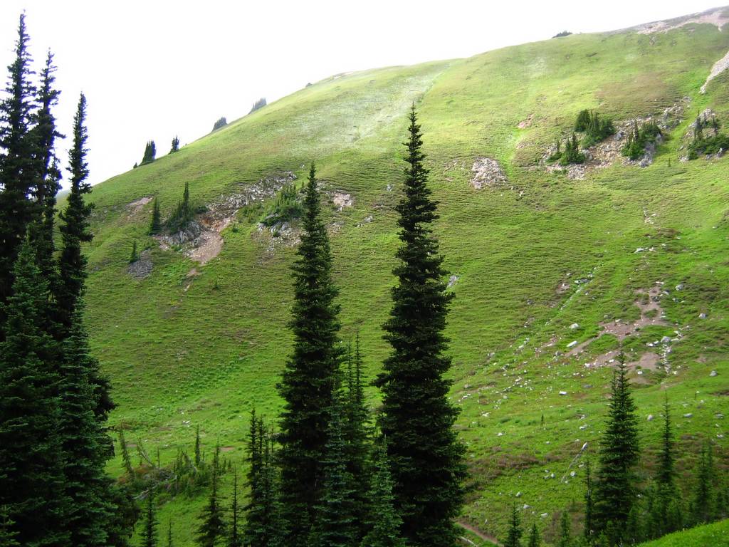
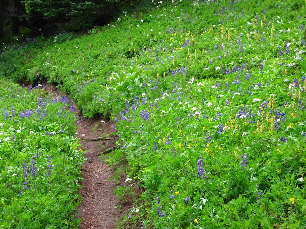
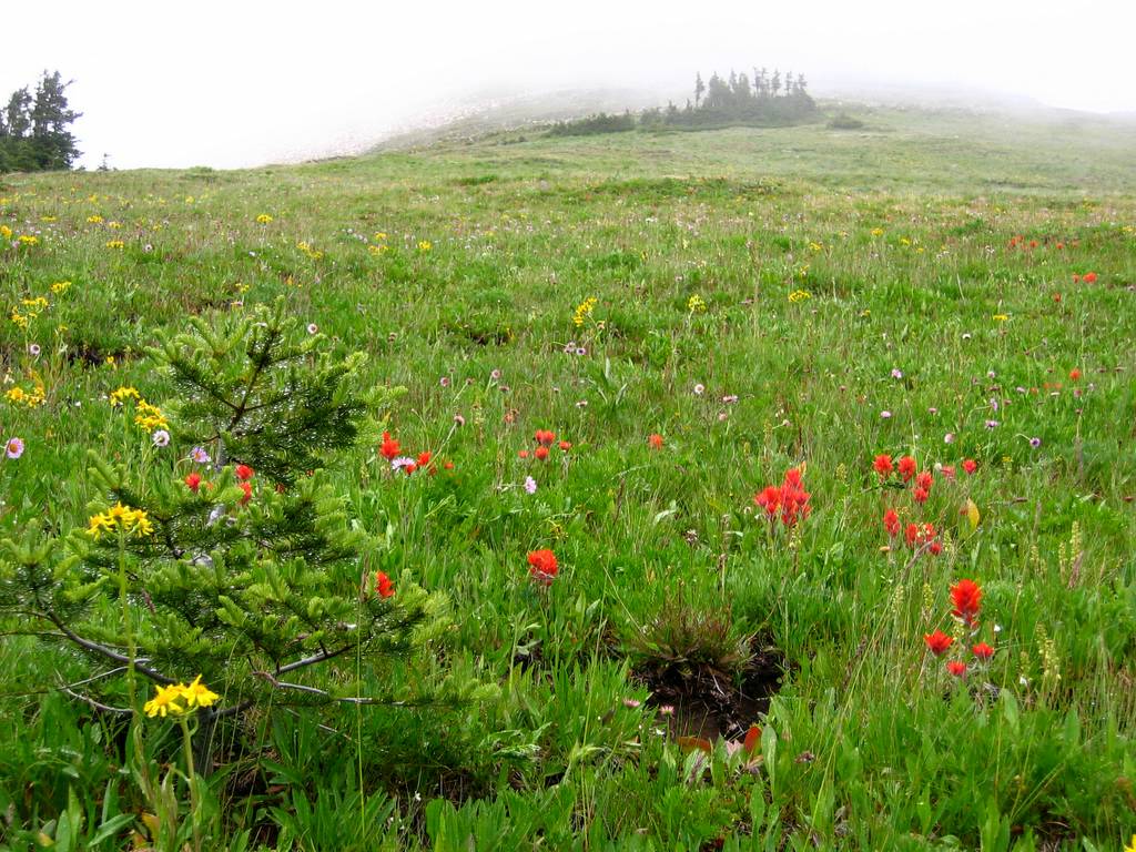
Here the terrain makes a breath-taking change of foliage from
enclosed forest to open meadows. We had walked through a few flowery meadows
earlier, but here the slope of Miner’s Ridge stood up above us like a terraced
green wall practically glowing in the damp overcast. While we pumped
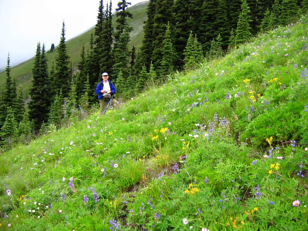
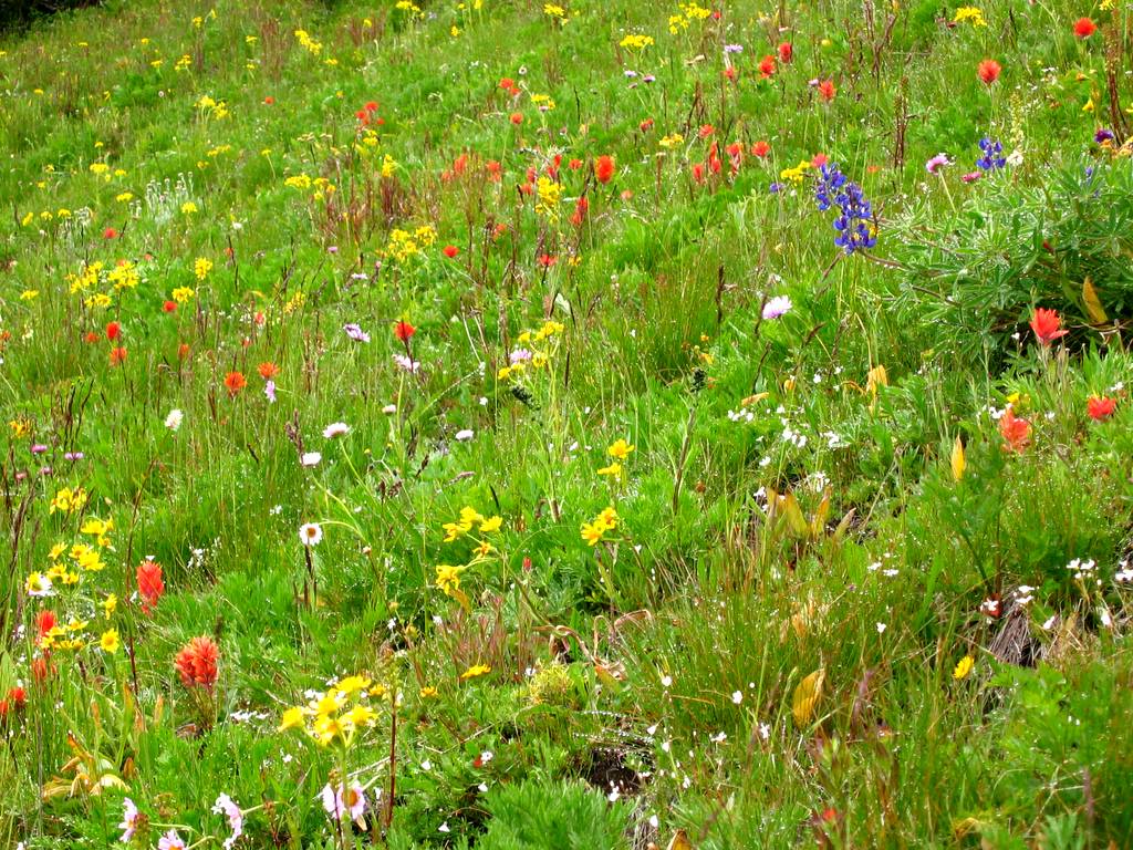
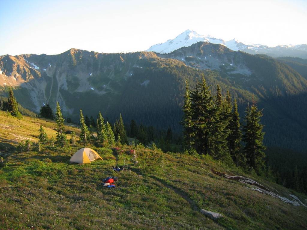
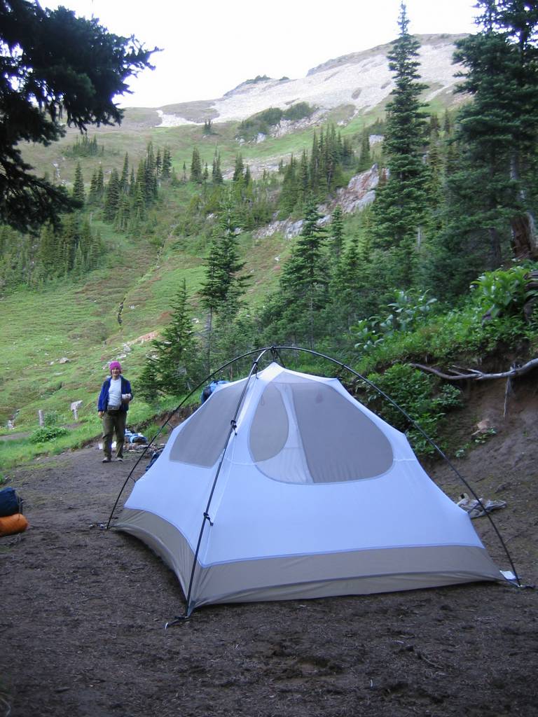
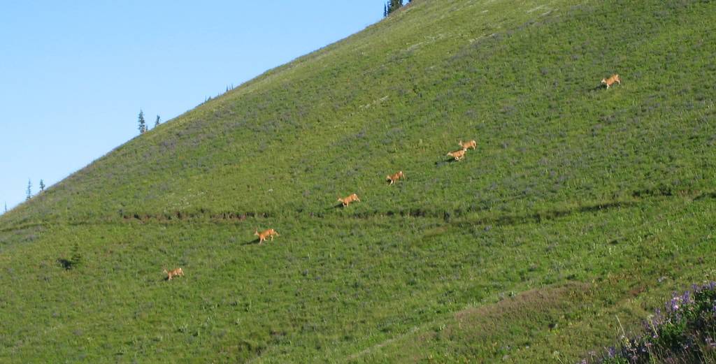
water, a marmot even came out to greet us. We set up camp and headed up the eastern ridge toward
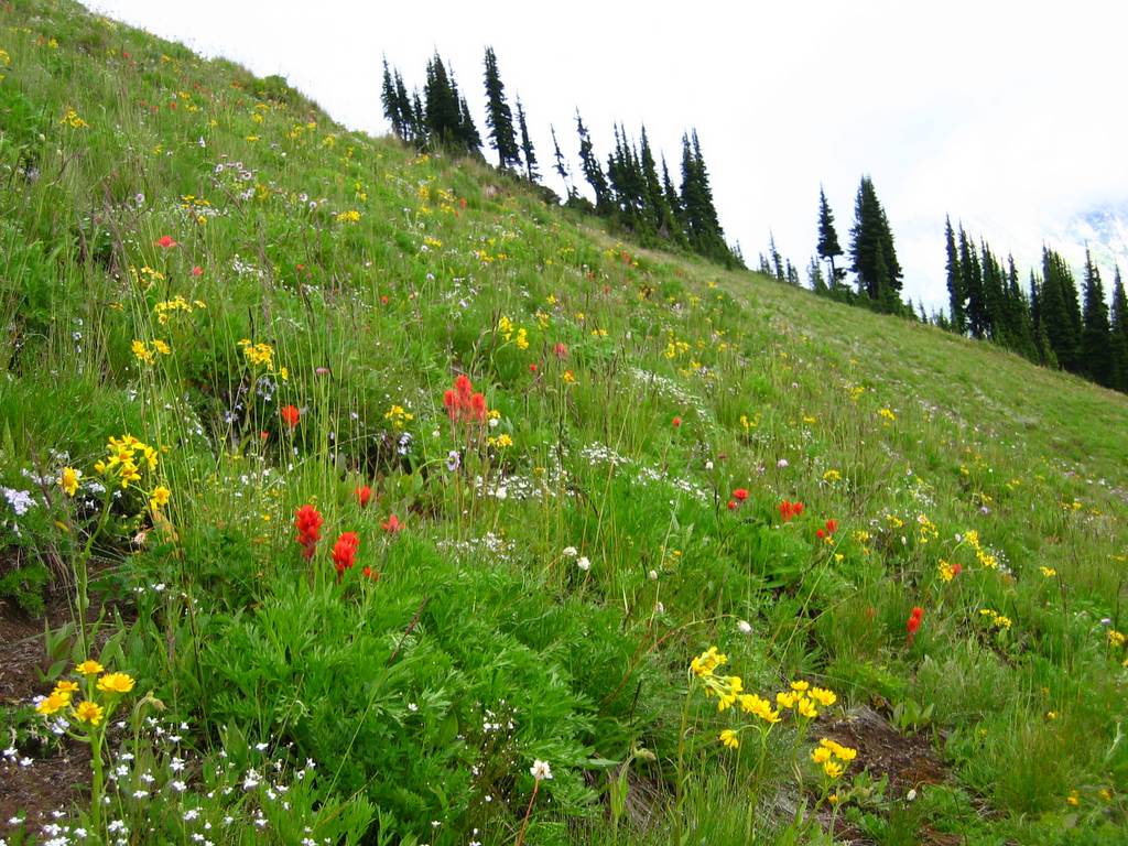
Plummer. The lower slopes of Plummer were wonderful fields of flower, with
their colors accented in the soft misty light.
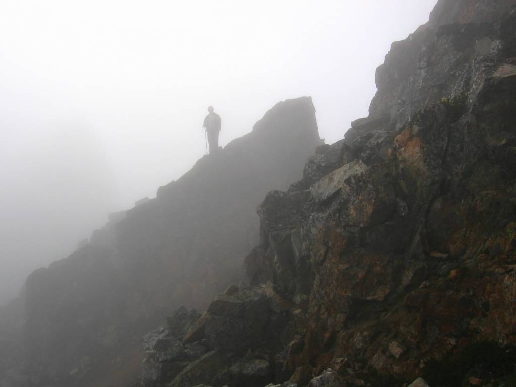
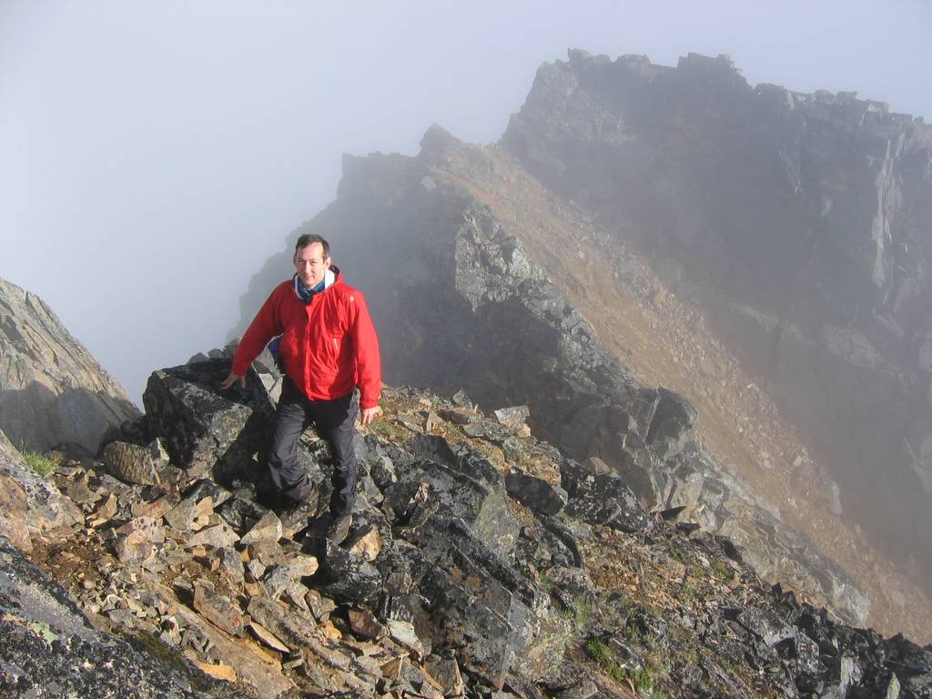
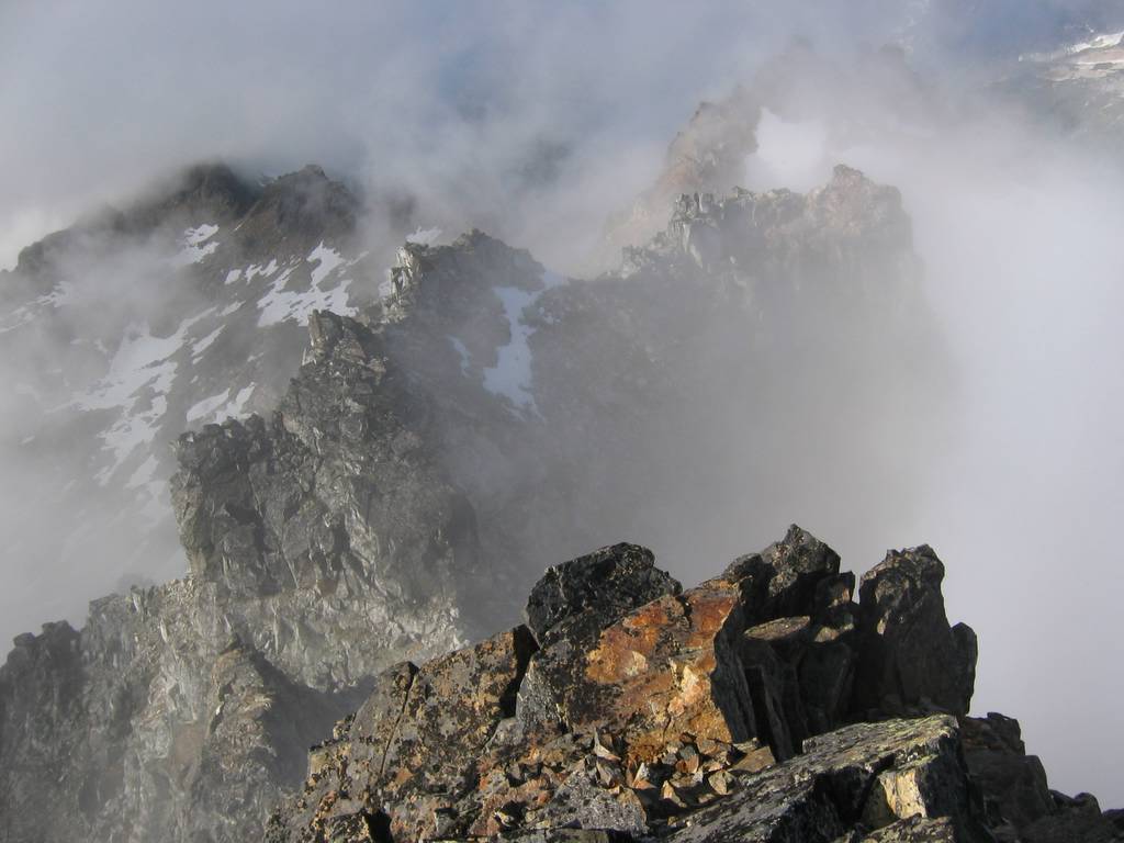
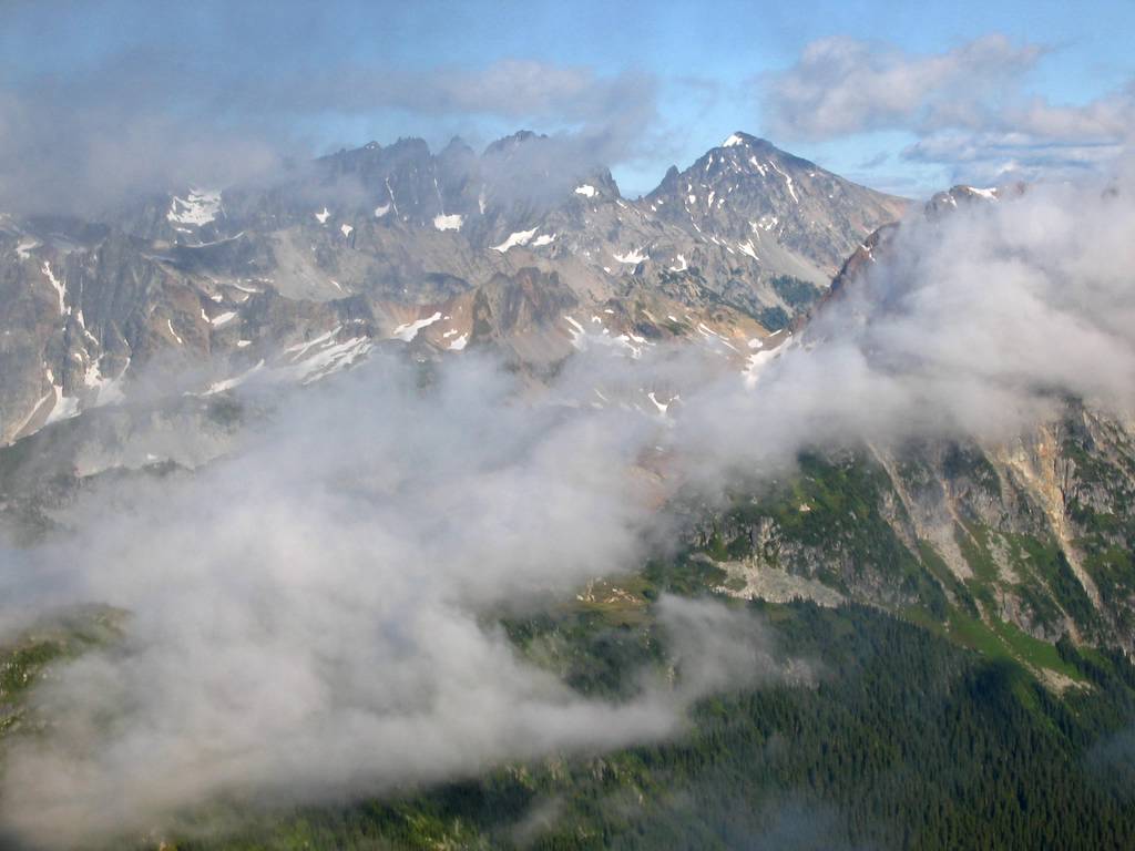
Higher up the peak was rocky
but easy scrambling, with the crest hidden in the clouds.
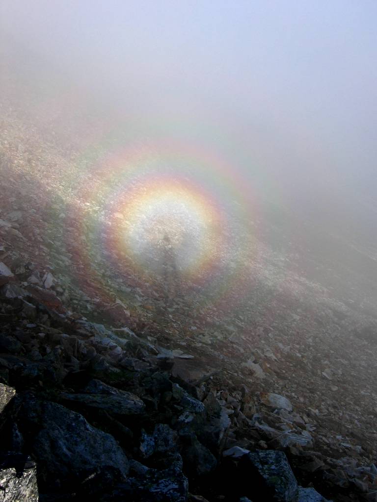
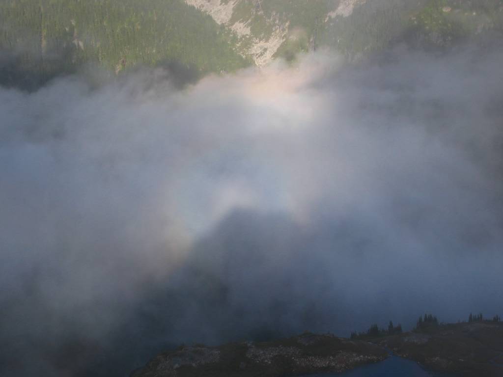
As we descended, the sun angled low across the crest and cast a rainbow halo
of my own shadow onto the clouds below.
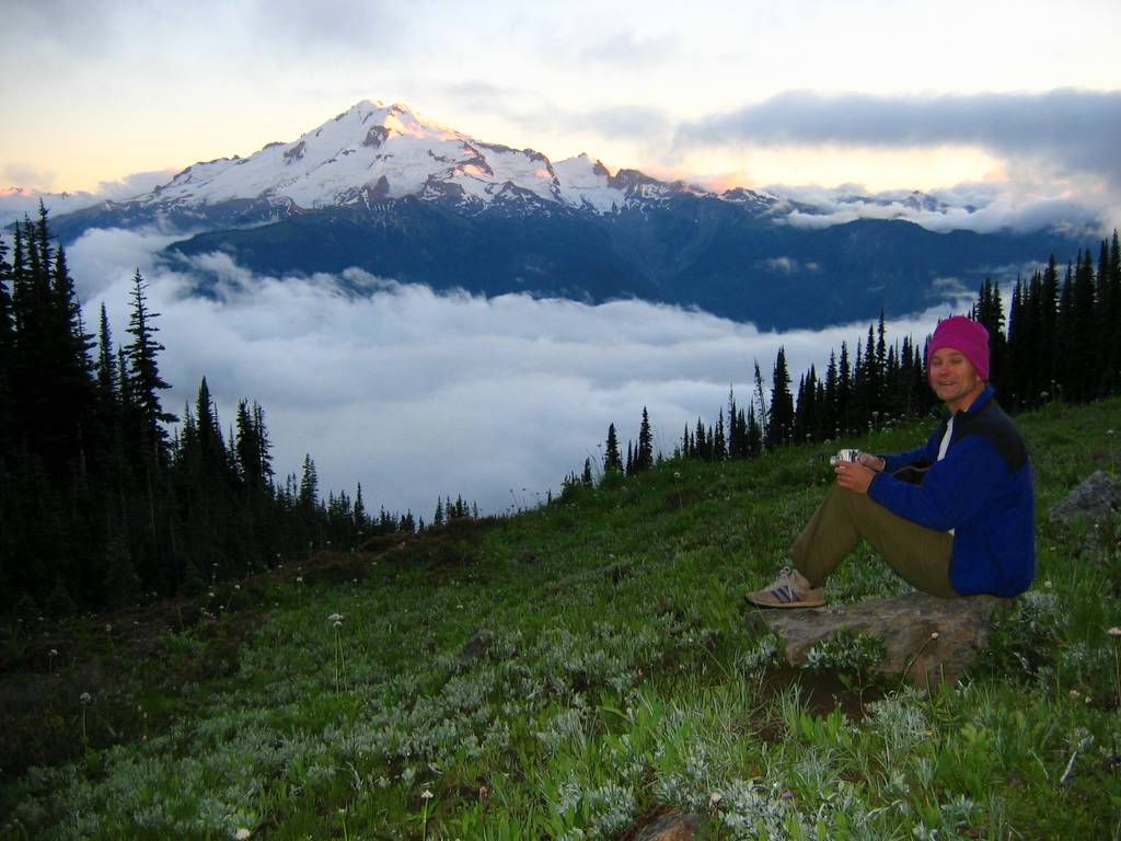
After dinner at camp, we sat in the
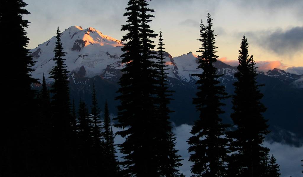
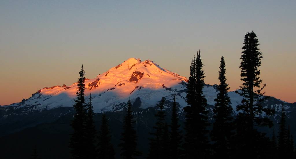
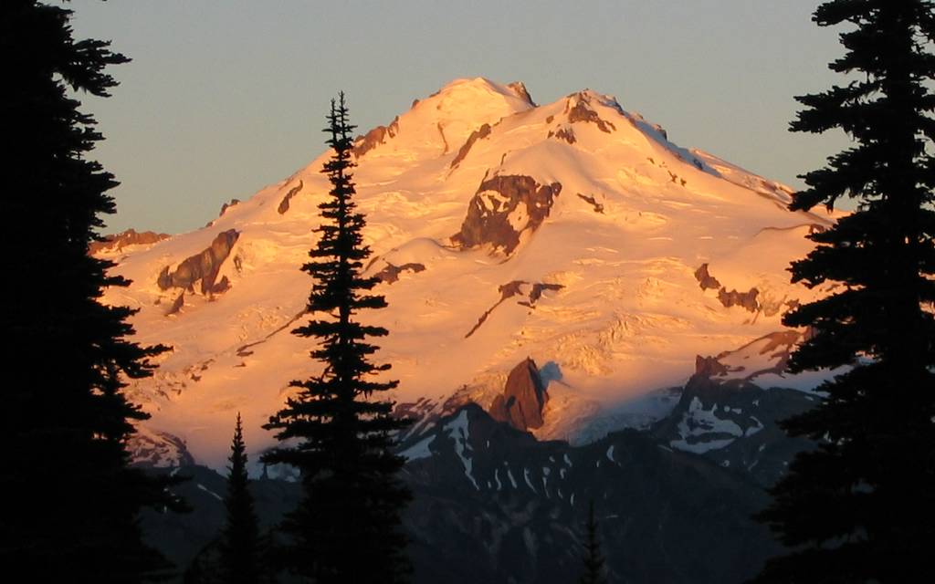
meadow with our hot beverages and watched the sunset light up Glacier Peak as the clouds filled the
valley below. |
|
||||||||||||||||||||||||||||||||||||||||||||||||||||||||||||||||||||||
|
|
|||||||||||||||||||||||||||||||||||||||||||||||||||||||||||||||||||||||
Day Three
|
|||||||||||||||||||||||||||||||||||||||||||||||||||||||||||||||||||||||
|
|
|||||||||||||||||||||||||||||||||||||||||||||||||||||||||||||||||||||||
|
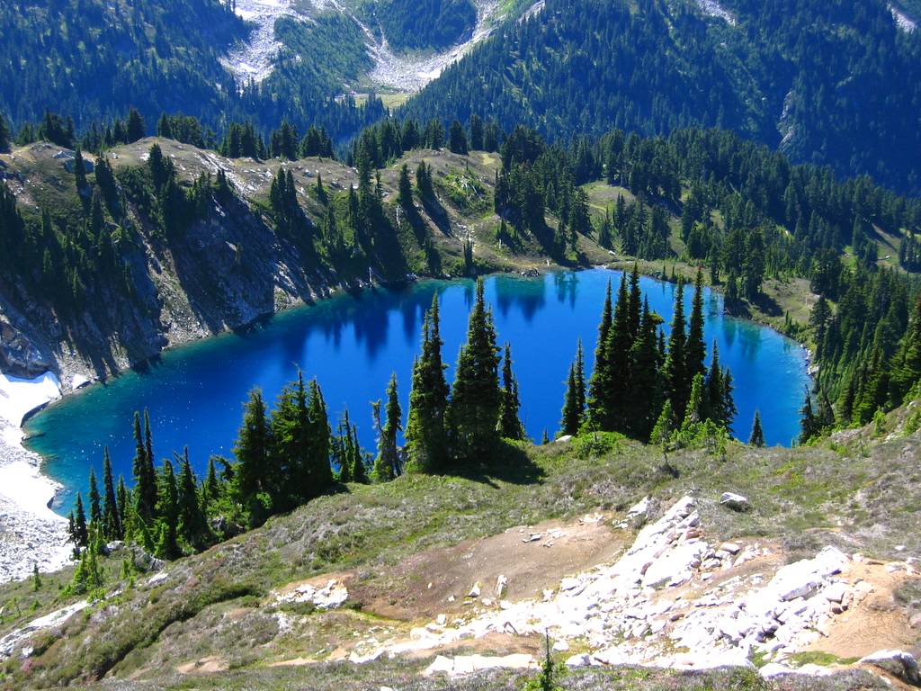
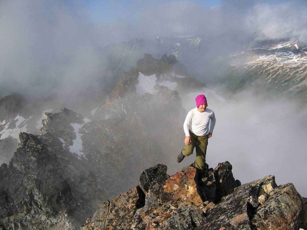
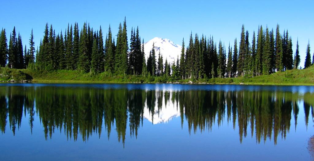
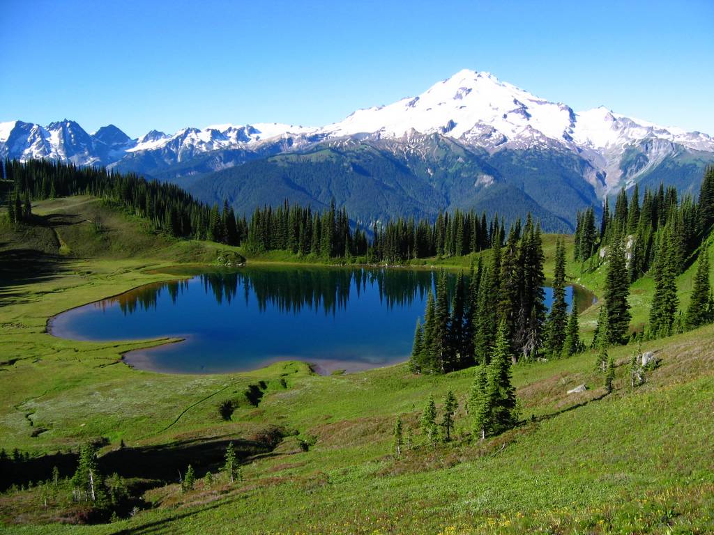
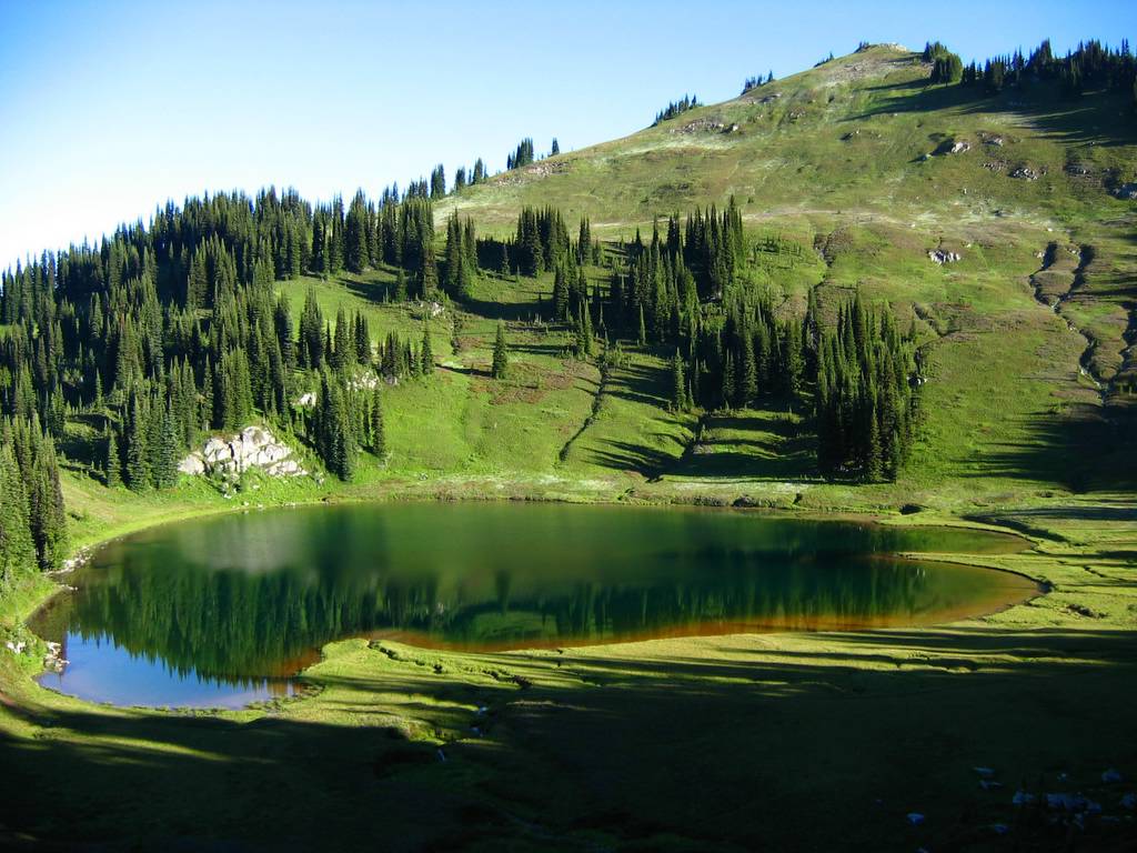
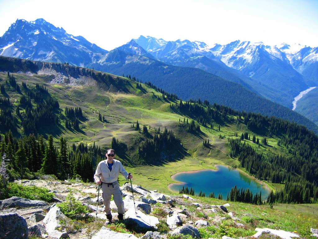
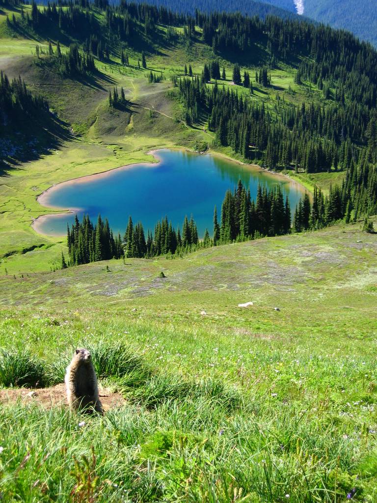
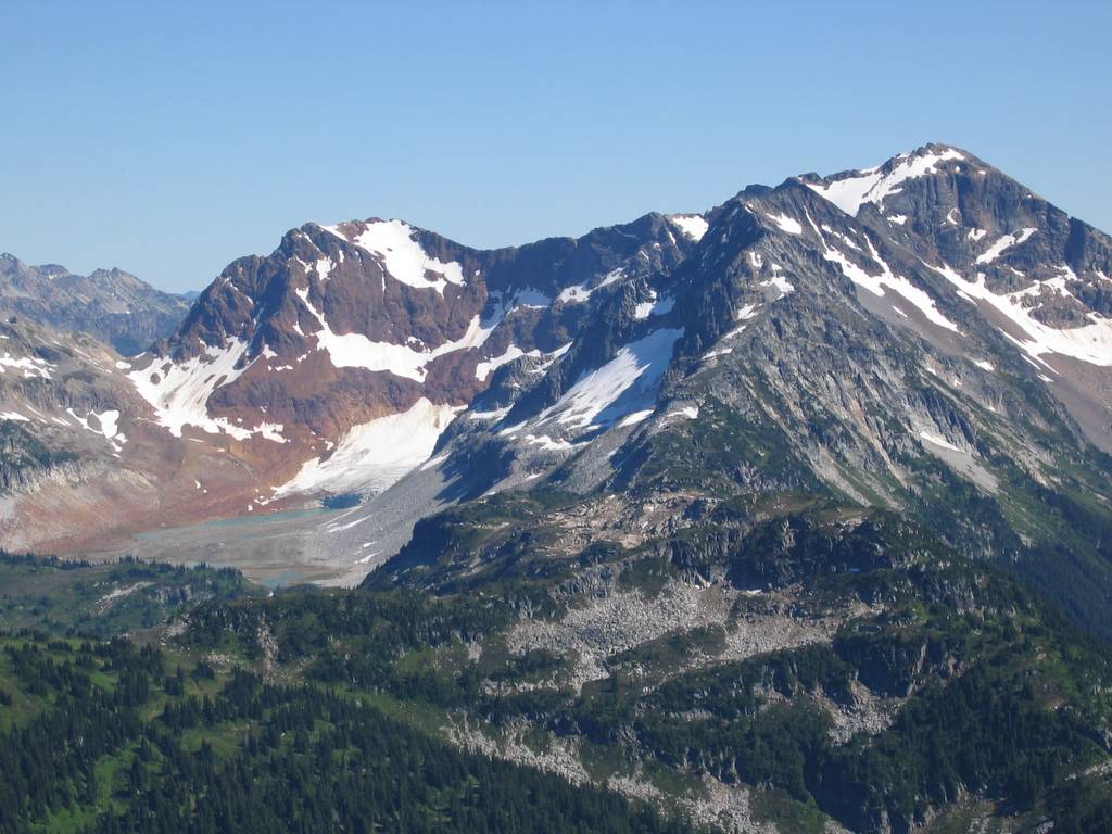
Image Lake lived up to its reputation as a scenic gem, beautiful from every angle. As we approached from the west, the lake glowed deep green reflecting the opposite hillside. From the north shore, the lake reflected a perfect line of trees framing Glacier’s white cone. When I went in for a swim, the water was a perfect refreshing warm-cool temperature, and the scenery reflected in waves rippling out around me. Meanwhile Mike circumnavigated the lake and backtracked to the Canyon Lake junction, so that he could hike the whole trail. I hiked up the slopes north of the lake to meet Mike at the col (6400) where the trail crosses Miner’s ridge. From high on the northern hillside, the lake was a blue gem surrounded by green meadows and backed by big peaks.
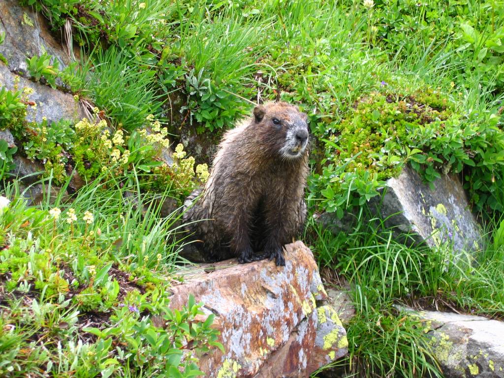
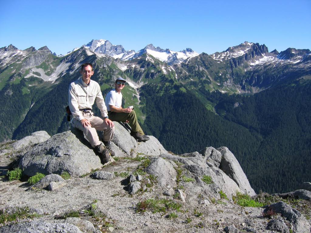
A brief side trip took us to the summit of Miner’s Ridge (6768) for a grandstand view of the Bath Lakes Traverse Peaks and a sweeping panorama of the surrounding area: south to Image Lake, the Suiattle valley & Glacier Peak; east to Plummer and Bonanza; north to the Canyon Creek valley, Canyon Lake, the Bath Lakes Peak, and Dome Peak. On the way down, a marmot came out its hole and posed for me with Image Lake below.
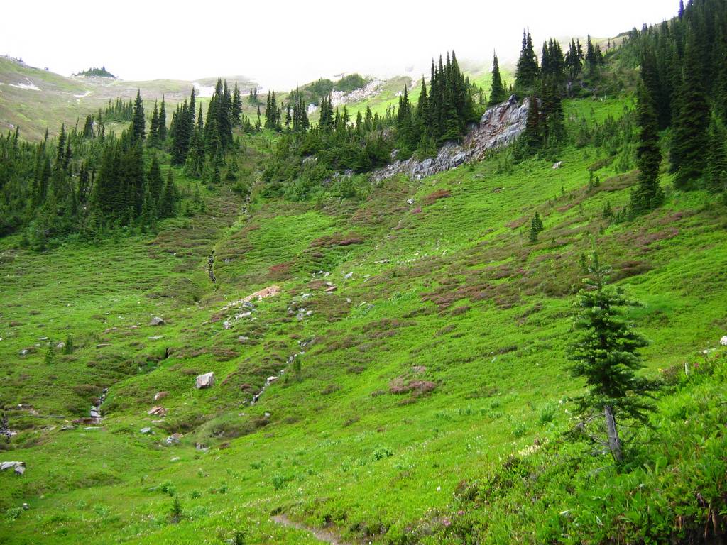
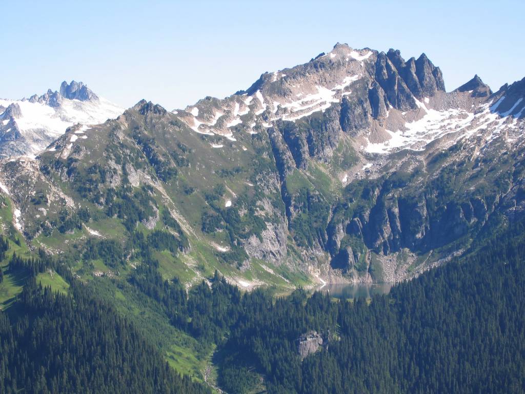
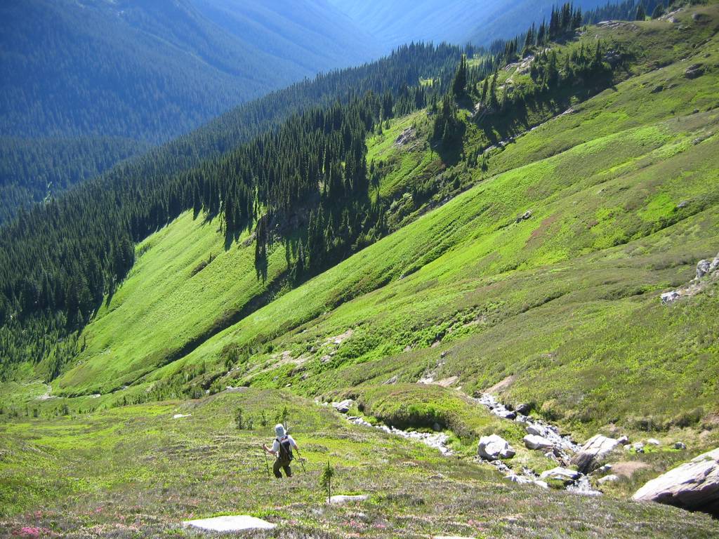
We took the Canyon Lake trail in a broad sweep down and around the head of the Canyon Creek drainage. The unmaintained trail was in good condition, with the tread missing in just a few gullies on the side of the ridge. We continued to the second fork of Canyon Creek (5350) where we dropped our backs for a side trip to Sitting Bull Mtn.
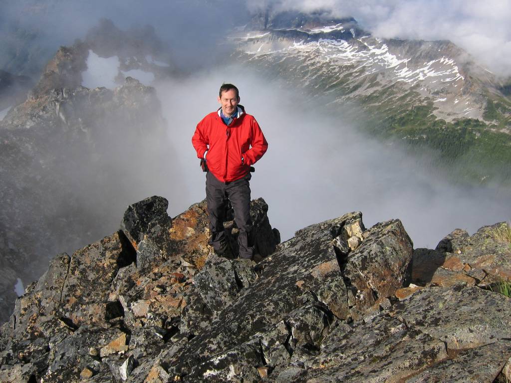
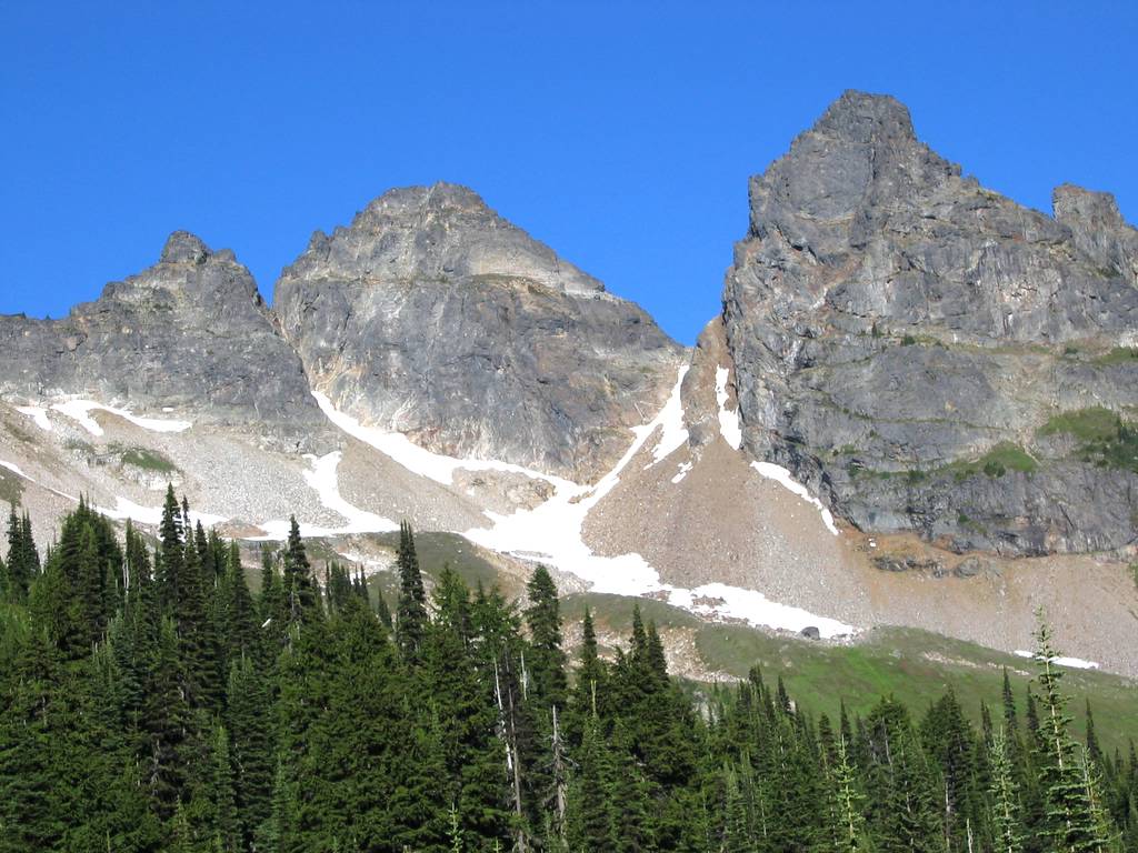
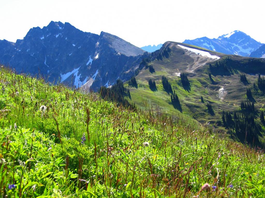
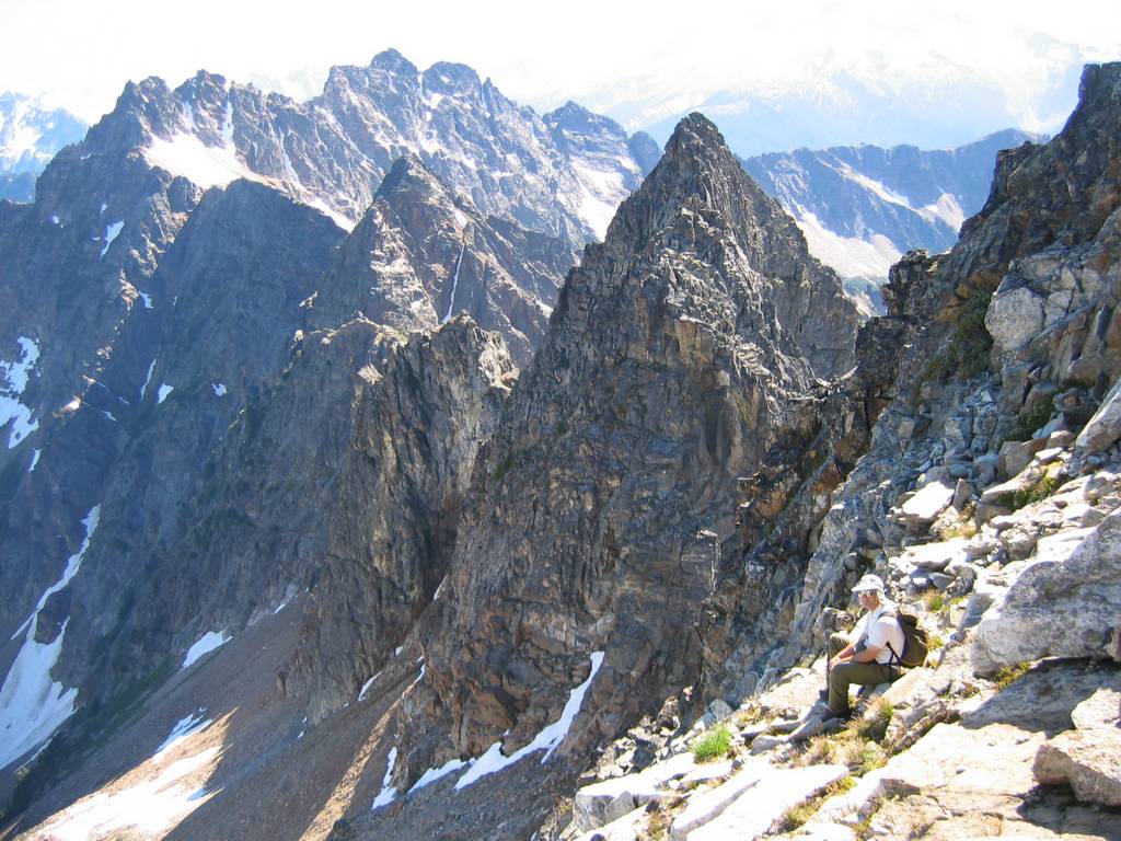
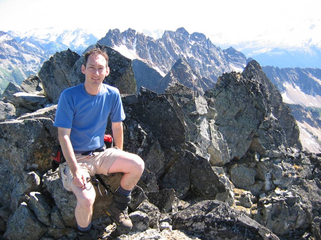
Sitting Bull gave us our first experience of off-trail travel on steep meadows. Going up a thousand feet on the meadows, we learned to carefully watch the colors of the greenery ahead, since some plants gave better footing than others. A snow finger took us to the notch south of the summit, where we faced a couple hundred feet steep third class (or more) scrambling and then easier terrain to the summit (7759).
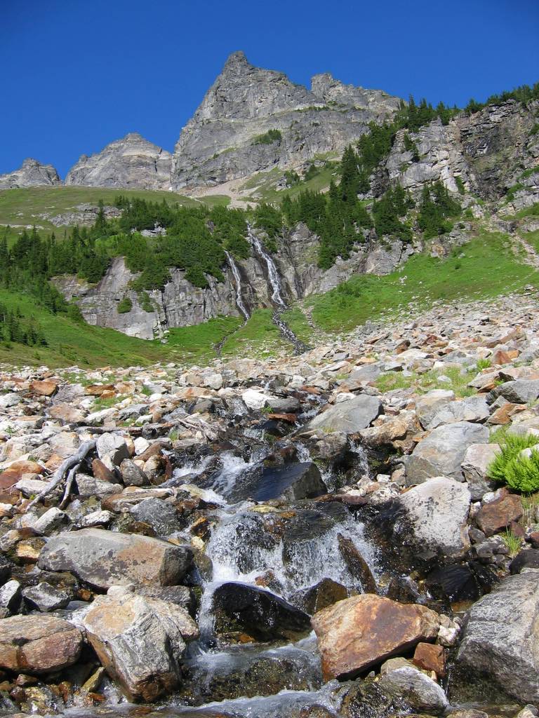
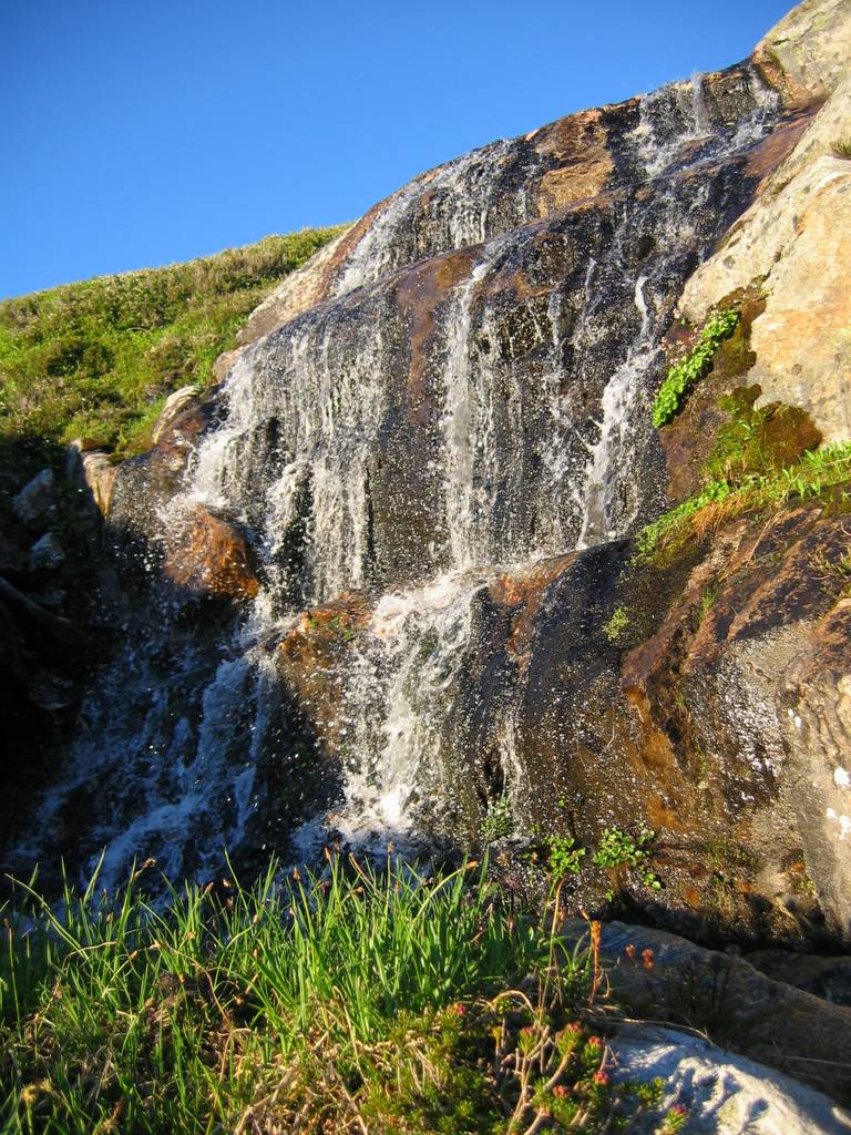
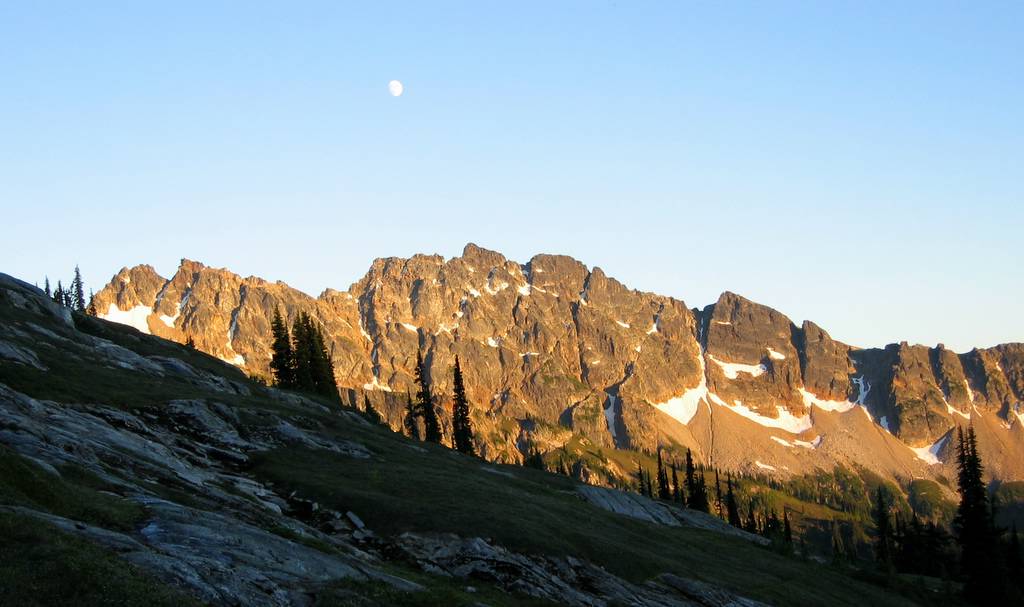
We went down to the trail, then followed the trail as it climbed back up to about 6300 feet traversing the head of the valley before dropping to Canyon Lake, which was already dropping in to shadow. Up high in the evening sunshine, we decided to make camp where the trail was traversing a delightful region of small streams splashing down curving rock slabs. I found a small waterfall that for an evening shower before dinner, and we watched the moon rise as the sun faded.
12:30 hours, 9 miles, 4500 gain. |
|
||||||||||||||||||||||||||||||||||||||||||||||||||||||||||||||||||||||
|
|||||||||||||||||||||||||||||||||||||||||||||||||||||||||||||||||||||||
|
|
|||||||||||||||||||||||||||||||||||||||||||||||||||||||||||||||||||||||
|
|
|||||||||||||||||||||||||||||||||||||||||||||||||||||||||||||||||||||||