|
|
|||||||||||||||||||||||||||||||||||||||||||||||||||||||||||||
Schaefer Point 6764 (Bandit Attempt)
(USGS Schaefer Lake)6-05-04 |
|||||||||||||||||||||||||||||||||||||||||||||||||||||||||||||
|
|
|||||||||||||||||||||||||||||||||||||||||||||||||||||||||||||
|
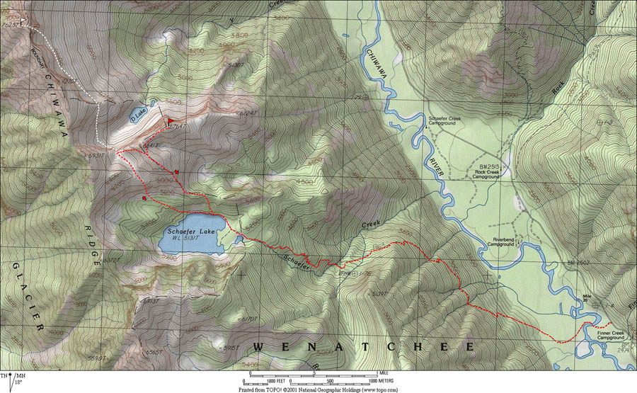
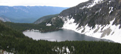
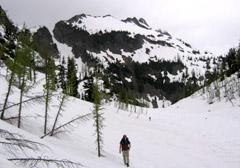
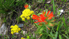
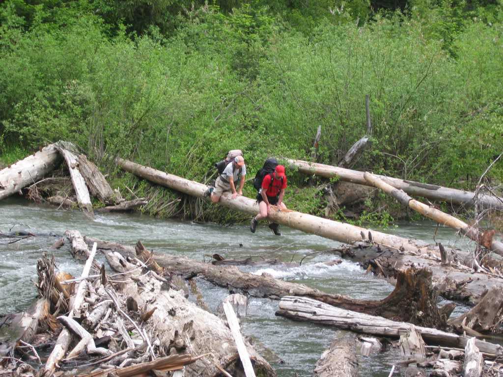
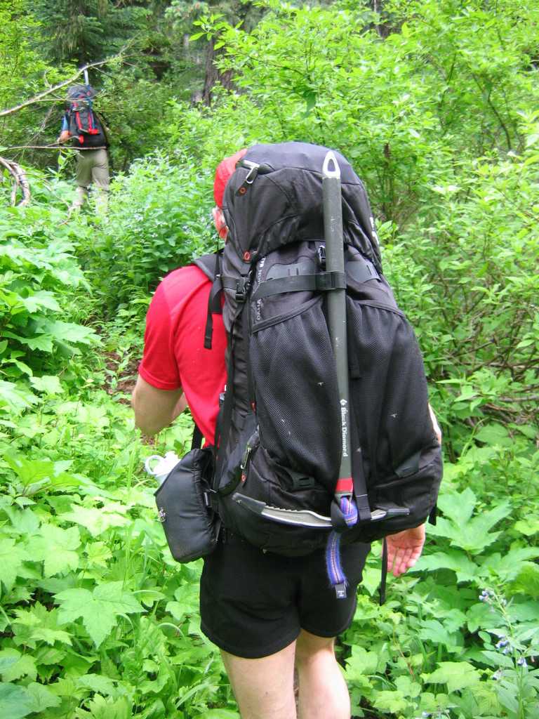
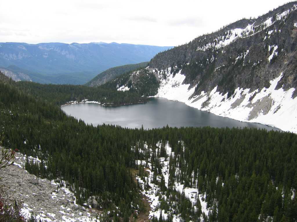
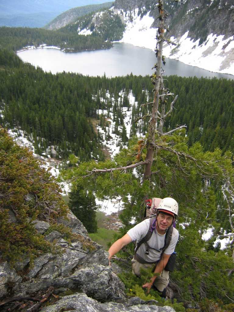
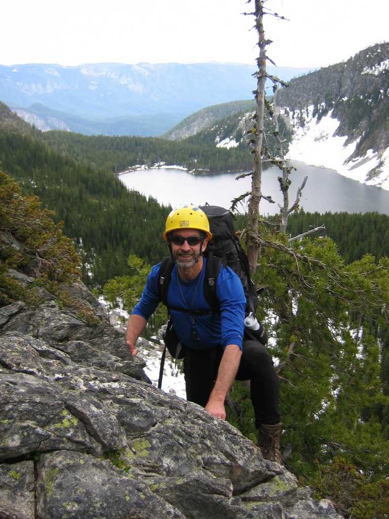
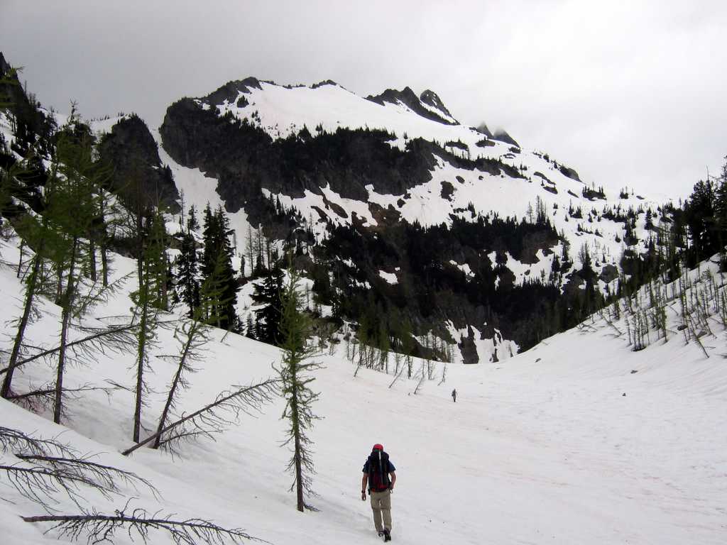
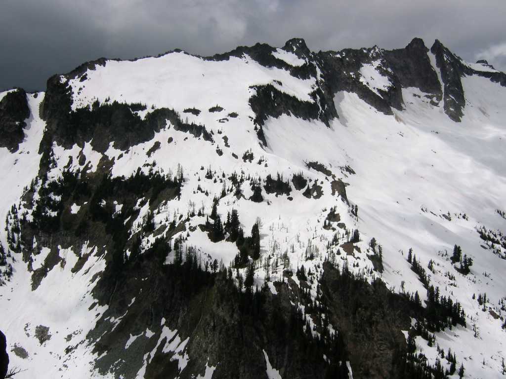
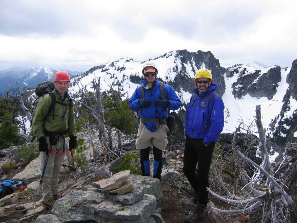
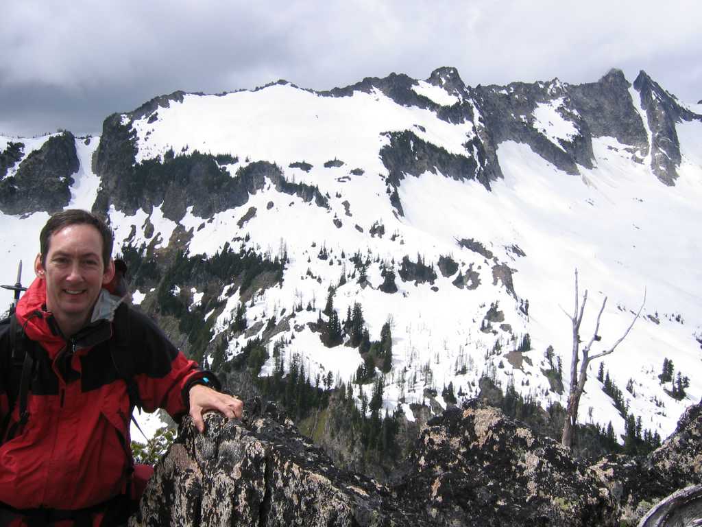
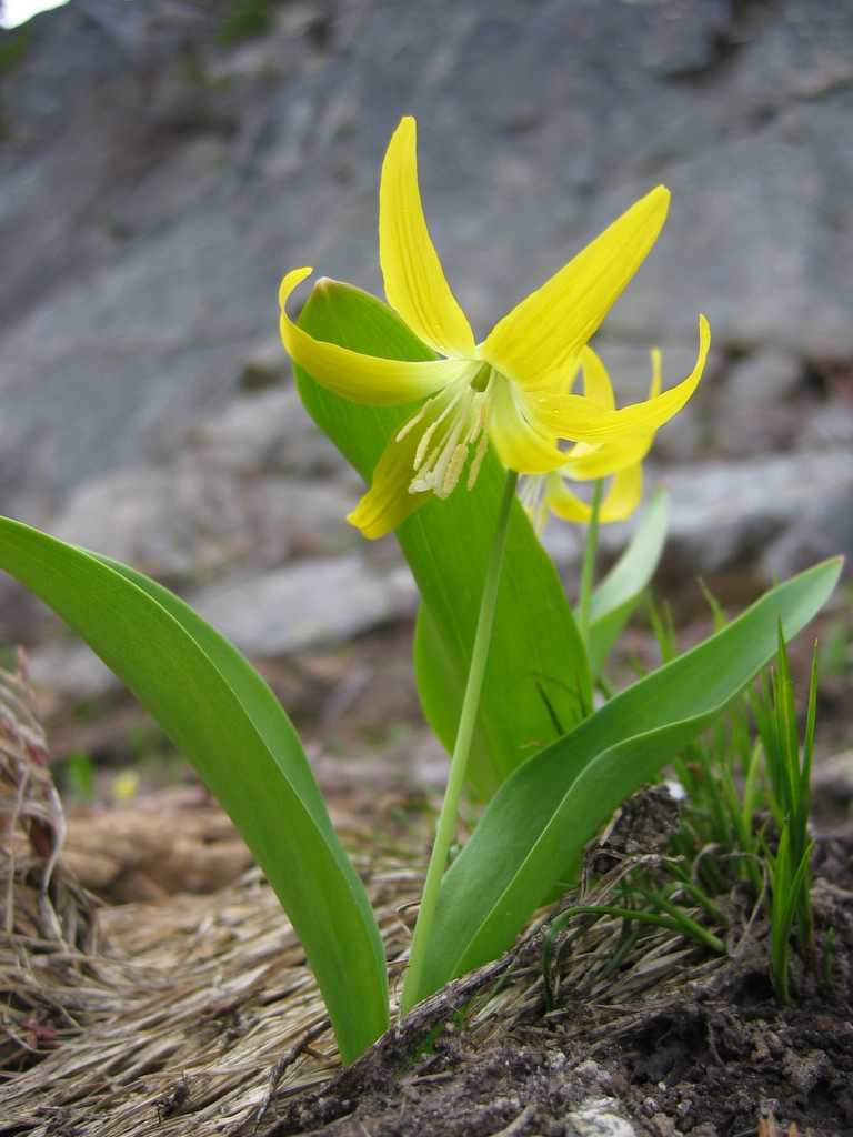
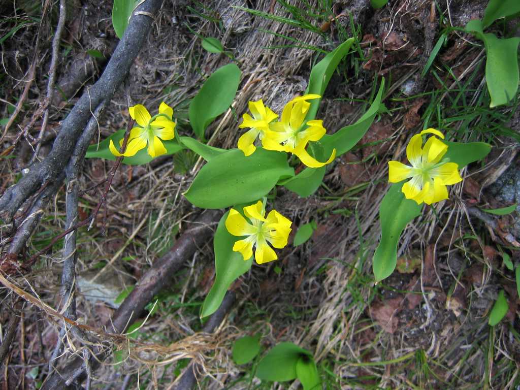
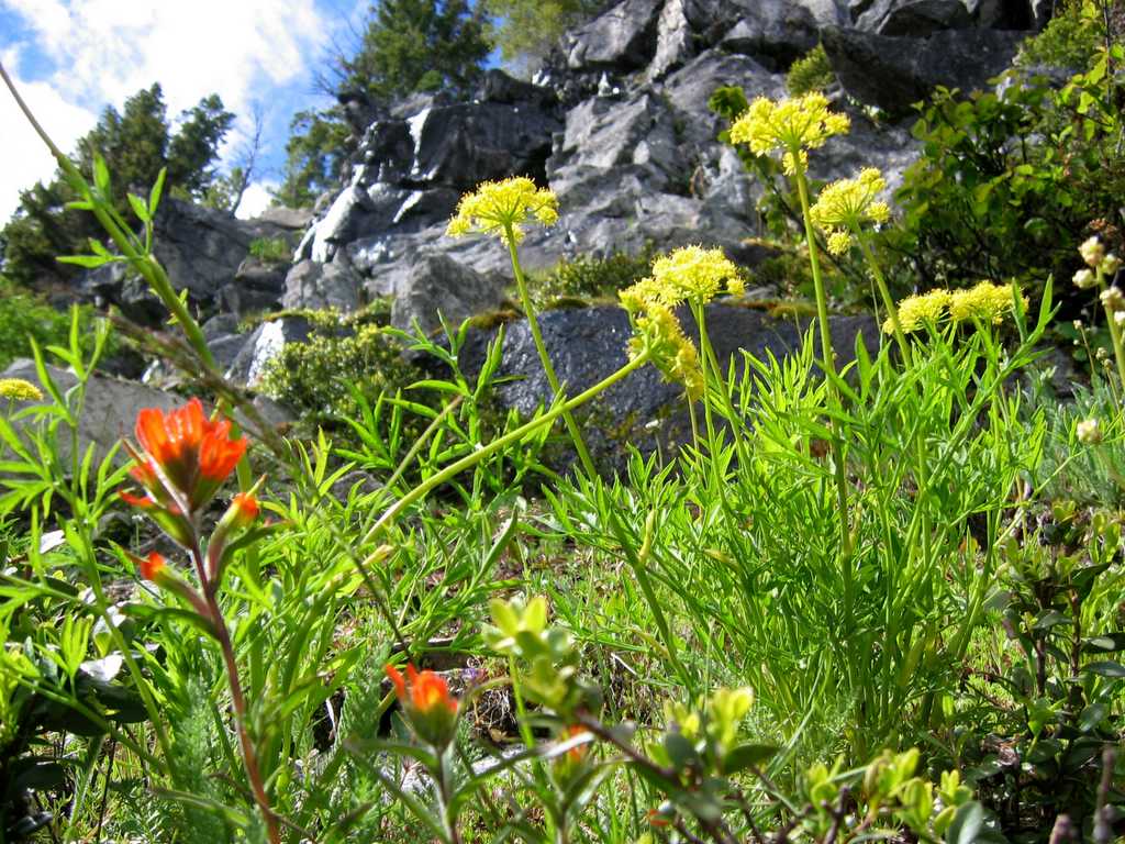
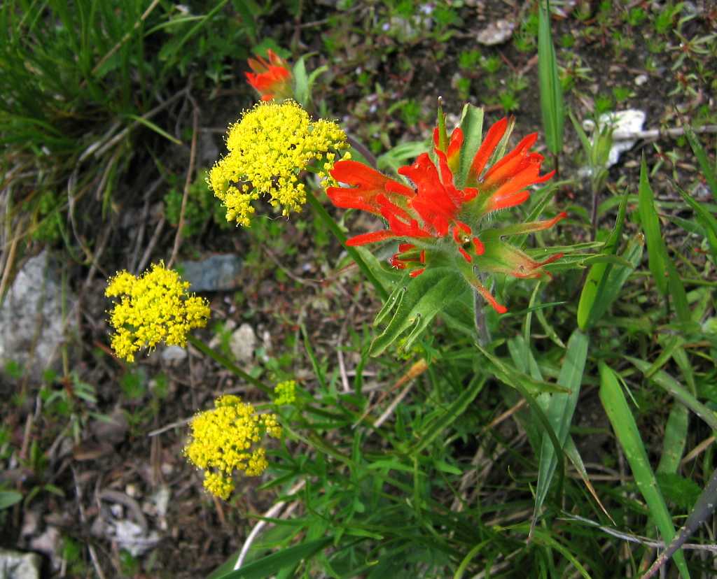
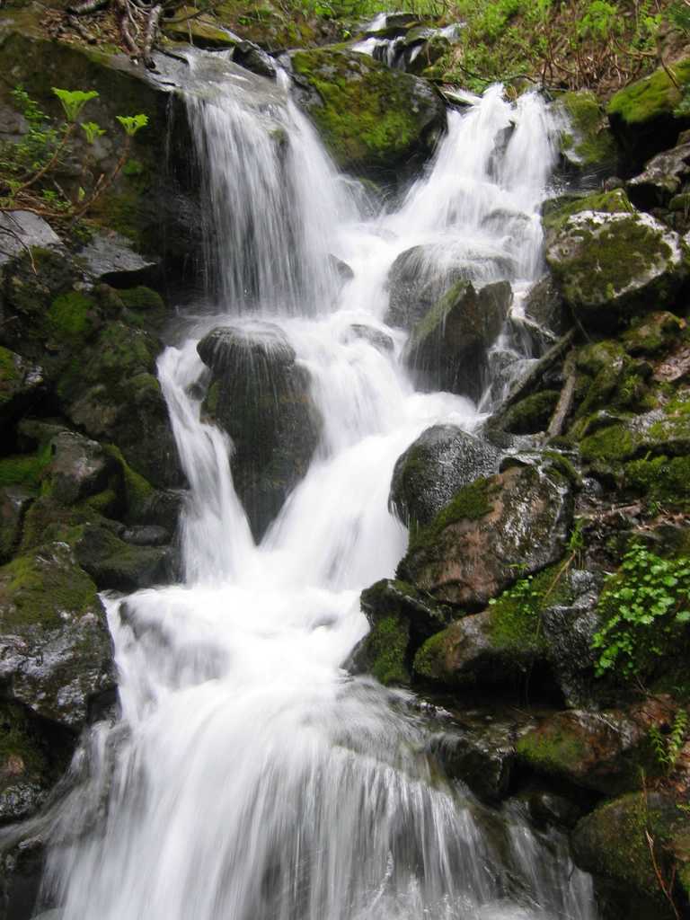
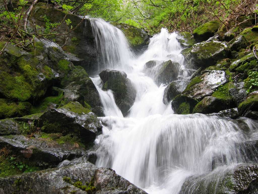
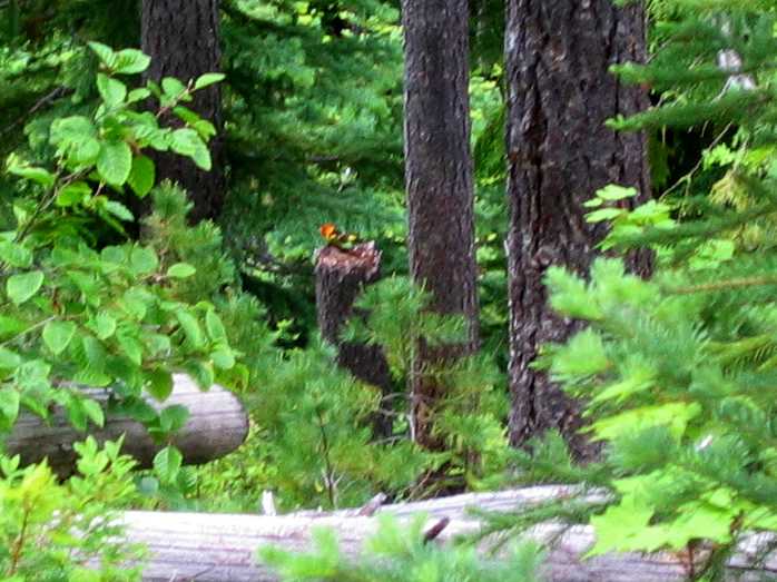
Party: Steve Fox, Jim Brisbine, group of four. Introduction: The intended destination was Bandit Peak (the high point on Chiwawa Ridge), but, due concerns about time and terrain, we stopped short at the col between Schaefer & D Lakes. As an alternate destination we did Point 6764, which we decided to name “Schaefer Point.” The clouds didn't allow many distant views, but along the way there were some pretty flowers, a waterfall, and a colorful bird. Details: We started from the Schaefer Lake trailhead (2450) on the Chiwawa River Road. The Chiwawa River provided two obstacles. First, the river had to be crossed on a log. I bravely walked across the log, but the others discretely scooted across. Second, the bugs were swarming and biting in the flat valley bottom near the river. Fortunately the bugs disappeared once we began ascending into the forest. We reached Schaefer Lake (5131) and went to the far end where we searched to find a way up through the cliff bands. The route we chose included brief third or fourth class scrambling. Finally we reached the 5900-foot col between Schaefer Lake and D Lake, where we got our first clear view of Bandit. To reach the summit of Bandit, we needed to traverse a steep section of the ridge above D Lake, then traverse another 1.5 miles on snowfields, then climb a steep gully to the summit. Considering the time and terrain, we decided not to do Bandit today. Instead we turned east and ascended Point 6764, because it satisfied Steve’s criterion of having 400 feet of prominence. On our return we followed the SE ridge of Point 6764 back to Schaefer Lake, which provided a better descent back through the cliffs. At the base of the cliffs I found some nice flowers for photographs. There was also a nice waterfall on the Schaefer Lake trail. While descended back through the forest, a very colorful bird played hide-and-seek with me, flying away and then landing again on three successive switchbacks. (If anyone recognizes the species in the picture below, please let me know.)
Statistics: Round trip 13 miles. Cumulative gain 5050. Start 8:15am, lake 10:30am, col 12:40am, summit 2:15pm, depart 2:45pm, out 6:15pm. |
Schaefer Lake
5900 Col & Bandit
|
||||||||||||||||||||||||||||||||||||||||||||||||||||||||||||
|
Pictures
& Maps:
|
|||||||||||||||||||||||||||||||||||||||||||||||||||||||||||||
|
|
|||||||||||||||||||||||||||||||||||||||||||||||||||||||||||||