|
|
||||||||||||||||||||
Damnation Peak(USGS Damnation)April 2, 2006 |
||||||||||||||||||||
|
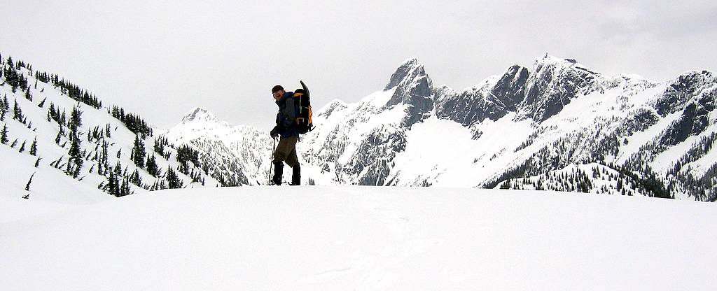
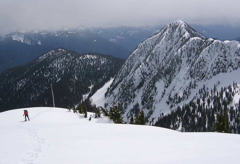
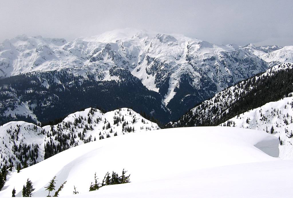
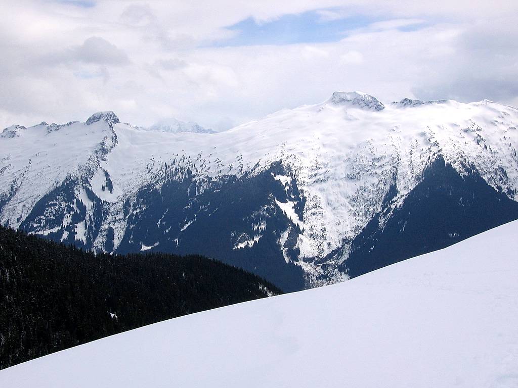
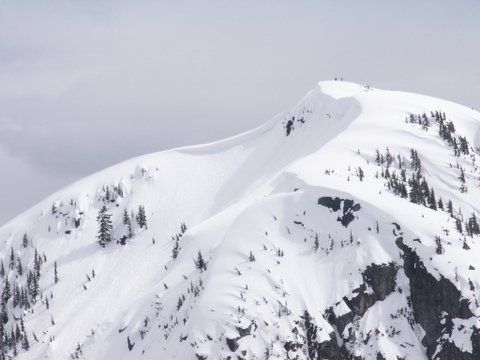
Richard hiking up the crest of Damnation with Triumph Pass, Triumph, & Thornton behind
|
||||||||||||||||||||
|
Party: Matt Burton, Richard Burt, Lynn Graf, Nick Lyle, Doug Smart Introduction: Damnation as a winter trip has a notable pro and con.
The con is the approach up Damnation Creek. The approach on the old Damnation Creek road is very brushy and almost impassable in unconsolidated snow. To really make it work, you somehow need to have little snow for driving up to the road, thick packed snow to cover the brush on the road for hiking, and consolidated snow on Damnation Peak for ascending.
The pro is the panoramic view from the summit, which is particularly striking when the peaks have their winter snow coat. Every since I did the Mystery Ridge traverse, I've especially wanted to view the traverse from Damnation, because Damnation is located right in the middle of the arc of the traverse.
So I have four criteria for being blessed on Damnation: little brush on the approach, make it to the summit, no clouds covering the summit, and a good view of Mystery Ridge.
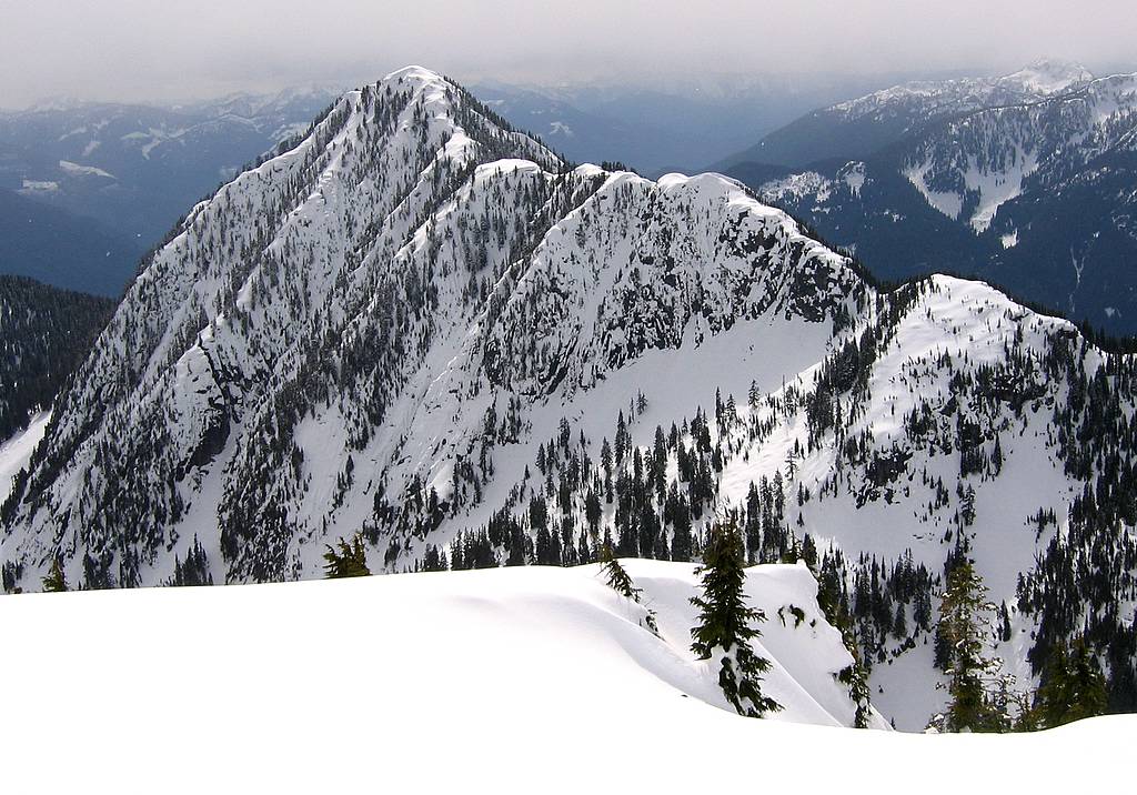
Blum, Mystery Ridge, Despair, Triumph Pass, & Triumph from Damnation Summit
So maybe there'll be a fourth trip someday, as long as I can get clear weather, blue skies with pretty clouds, little snow on the driving road, much snow on the brushy hiking road, consolidated snow on the ridge, fresh bright snow on the surrounding peaks, a strong party, and a free day. Then we can re-name it Salvation Peak. For now I guess I'll count myself more blessed than damned and leave it at that.
|
||||||||||||||||||||
|
Details:
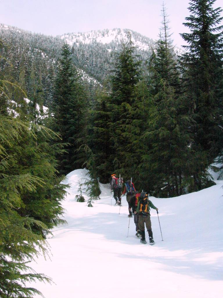
Hiking the Damnation Road: Hallelujah! No brush! The approach went great. Spring is definitely best time for this route. We were able to drive to about 1850 on the Thornton Creek Road, so we had less than a mile to hike to reach the abandoned Damnation Creek Road at 2250 feet. On the Damnation road, the snow was thick and packed enough to cover almost every bit of brush. We barely had to push a few branches aside. Where last year it took over three hours to get to the end of the road, today it took only two.
Ascending the East Flank of the South Ridge - not so great a route choice. At the base of the peak, we decided to go up a gully on the east flank of the peak rather than follow the nose of the ridge. As we got higher and the broken sun warmed the slope, the fresh snow became deeper and wetter, which made progress harder and stability more questionable. We crested the ridge at 4300 feet with tired legs and doubtful opinions about the snow.
Hurrying to the Summit Taking a break, we debated the snow conditions. Some thought that the increasing sunlight would soften the snow too much by later in the day; others thought we could descend safely on the west edge of the nose which was less sunny and more tree-covered. We ended up with three people hurrying to the summit while two waited at the 5200-foot knoll. Snow conditions were variable on the ridge, sometimes having loose snow or a crust under the snow that made extra work. Cloud conditions were also variable, sometimes all gray or bright sunny, but mostly a mix of clouds and shadows.
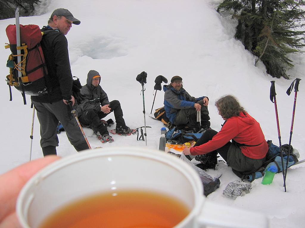
Summit Throughout the trip, we kept adding more peaks to the view, but not until the summit being able to see north and get the complete sweep of the Mystery Ridge traverse. Mystery Ridge itself sulked stubbornly under a cloud shadow the whole time. Since Nick and Doug were waiting below, we stayed just for a brief rest and pictures, and I even postponed my summit tea till later. |
Brush-Free Road
Doug cresting the ridge, with the road far below
Lynn approaching the summit, with Oakes behind
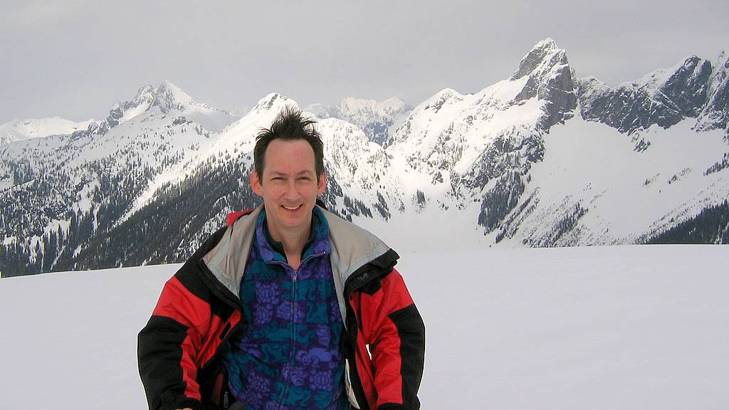
Matt on the summit, with my hair ascending higher |
|||||||||||||||||||
|
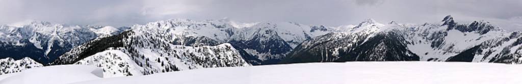
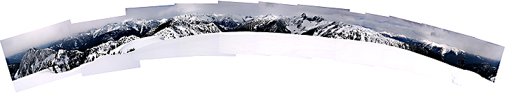
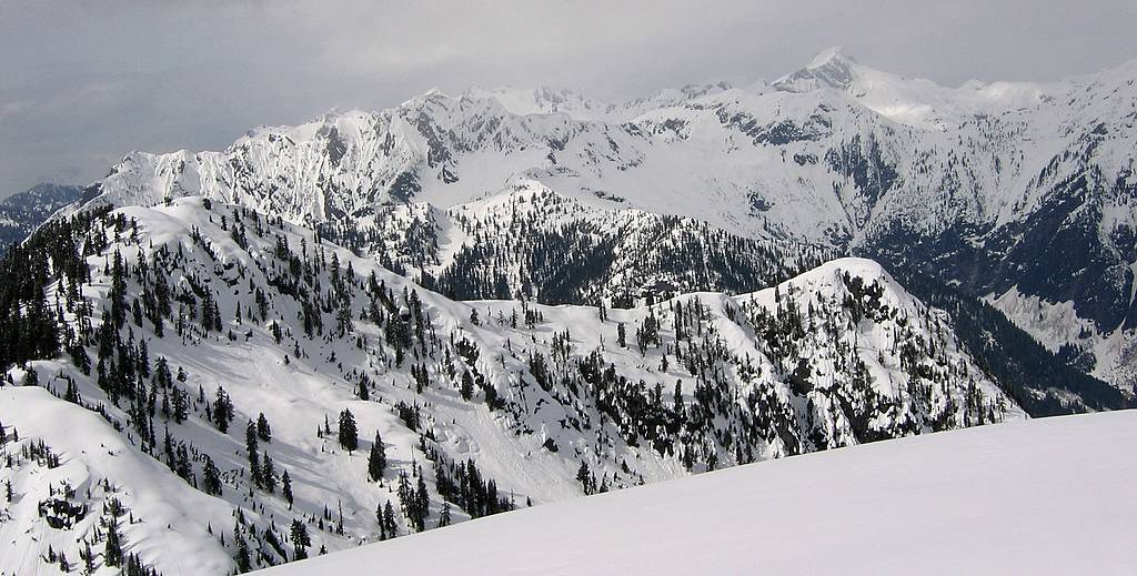
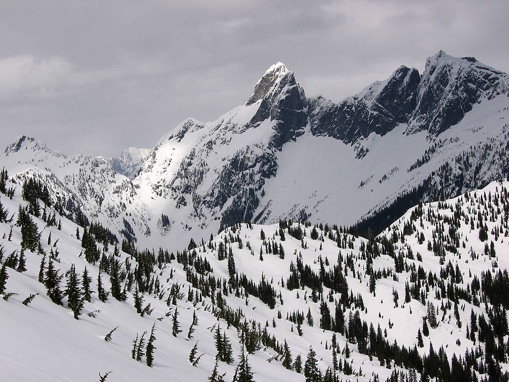
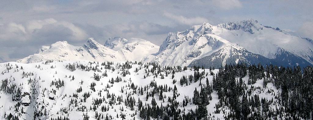
330-Degree View from the Summit |
||||||||||||||||||||
|
Oakes Bacon Hagen Blum Mystery Ridge Despair Triumph Snowfield Big Devil (Click Photo for Enlarged Annotated Version) |
||||||||||||||||||||
|
||||||||||||||||||||
|
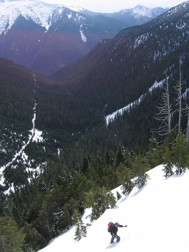
Descending the West Edge of the Nose of the South Ridge - definitely the preferred route. For our descent, we returned to the steeper nose circa 4300 feet and then followed the slightly wider contours down the righthand (west) side of the nose, and then circa 3600 gradually curving left toward the creek. This was much better terrain - mostly open forest with solid snow underneath the trees.
A Surprise at the Creek As we traversed toward the creek, we were surprised to find a single set of fresh snowshoe tracks heading up the valley. Who would be heading up this valley?
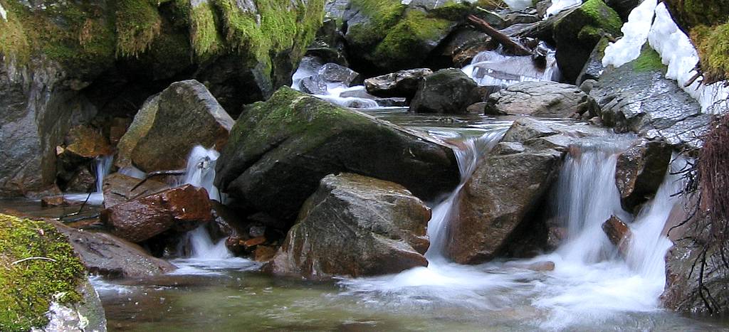
At the creek, I paused in midstream to take pictures of the pretty rapids, balancing on my snowshoes on the midstream rocks. Eventually I noticed the complaints getting louder behind me, and realized that several other people were also balanced midstream waiting for me to get out of the way.
But there was an extra person in the line! Mike Torok was the source of the mystery tracks. He had gone up Hellfire while we were on Damnation, and caught up with us now. We all regrouped at the road and I finally had my cup of tea before we headed back to the cars. |
|
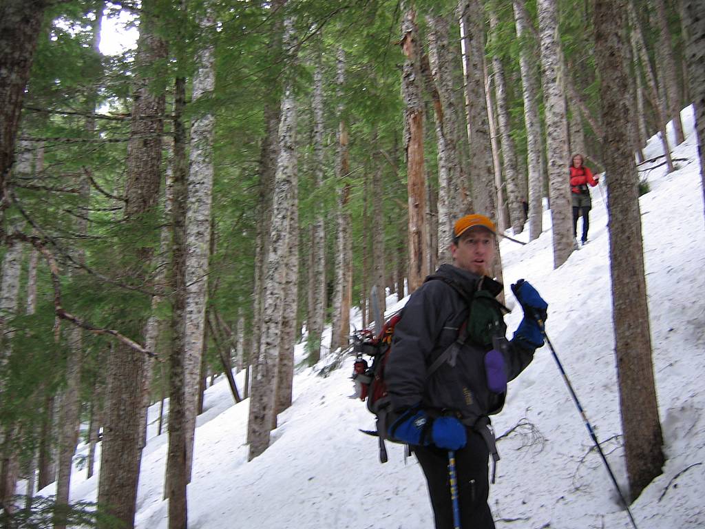
Descending through woods
Damnation Creek
Mike the Mystery Snowshoer |
||||||||||||||||||
|
||||||||||||||||||||
|
|
||||||||||||||||||||
|
Statistics: Drive 2:15 from Seattle. Round trip 10 miles. Ascent 5:50, summit 0:20, descent 4:00, total 10:10. Parked at 1850, Damnation road begins 2243, road ends 3200, summit 5635. Net gain 3800, cumulative gain 3900.
Route Info: Drive US20 east from Marblemount 11.7 miles to Thornton Creek Road #3745, between mileposts 117 & 118. Drive or walk Thornton Creek Road 3.7 miles to where the road makes a sharp right turn and a spur road branches left, blocked by several large boulders, 2243 feet. Follow the brushy road northward above Damnation Creek about 2.5 miles, to about 3200 feet. From the end of the road, cross Damnation Creek and curve west and upward around and up the nose of Damnations south ridge. Best contours are somewhat west of the nose. Reach the ridge crest and follow the ridge which broadens and opens about 4500 and continues to the summit. |
||||||||||||||||||||
|
|
||||||||||||||||||||