|
|
|||||||||||||||||||||||||||||||||||||||||||||||||||||||||||||||||||||||||||
Red Top 5361(USGS Red Top)February 18, 2006 |
|||||||||||||||||||||||||||||||||||||||||||||||||||||||||||||||||||||||||||
|
|
|||||||||||||||||||||||||||||||||||||||||||||||||||||||||||||||||||||||||||
|
Party:
Highlights:
|
|||||||||||||||||||||||||||||||||||||||||||||||||||||||||||||||||||||||||||
|
Report:
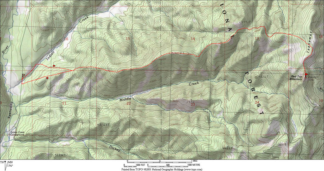
We parked just north of the Indian Creek Road, where there was barely a enough room plowed out to park on the shoulder. We followed the road a few hundred yards south to cross the creek on the road bridge, and then simply headed west and upward till the ridge north of Miller Creek became defined enough to follow its crest
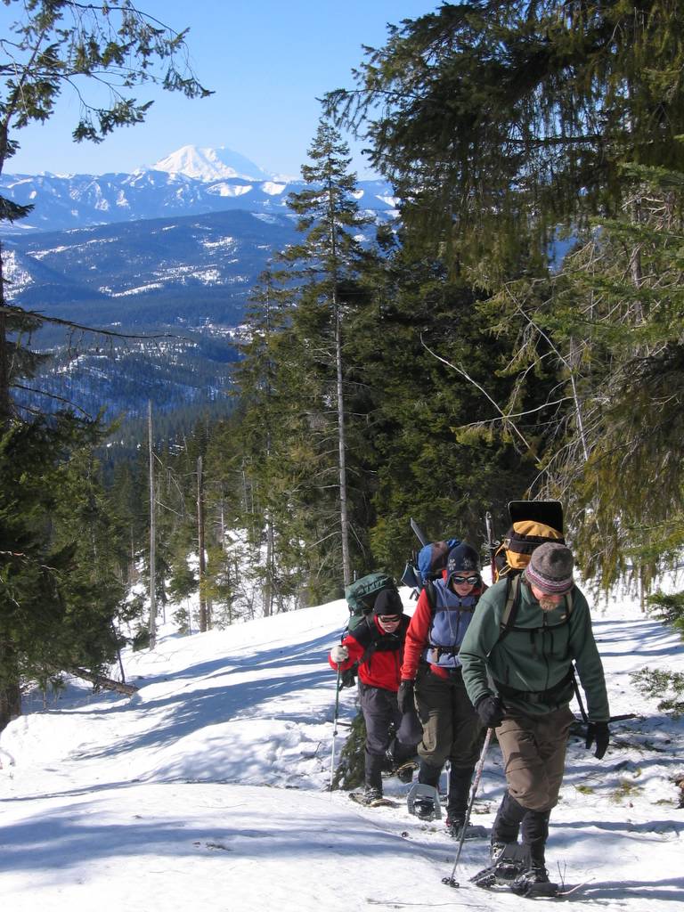
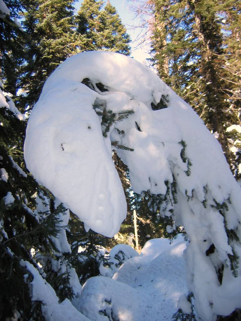
It was really cold at the start. People were stopping to add extra layers instead of taking them off. One woman with long black hair had frosted highlights at the tips of all her hair. All of the guys with facial hair ended up with lumps of ice in their beards or mustaches. Fortunately, the air was warmer and sunnier after we ascended up out of the valley bottom. However, the ridge crest was still windy enough in spots to frequently require zipping up our coats.
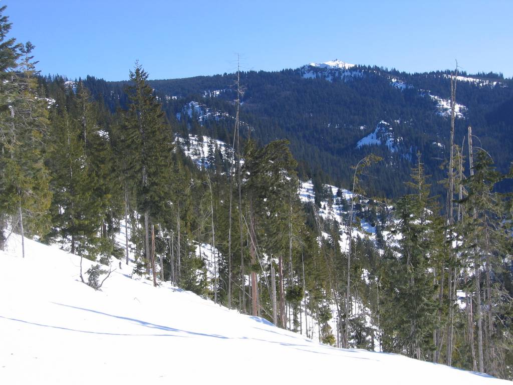
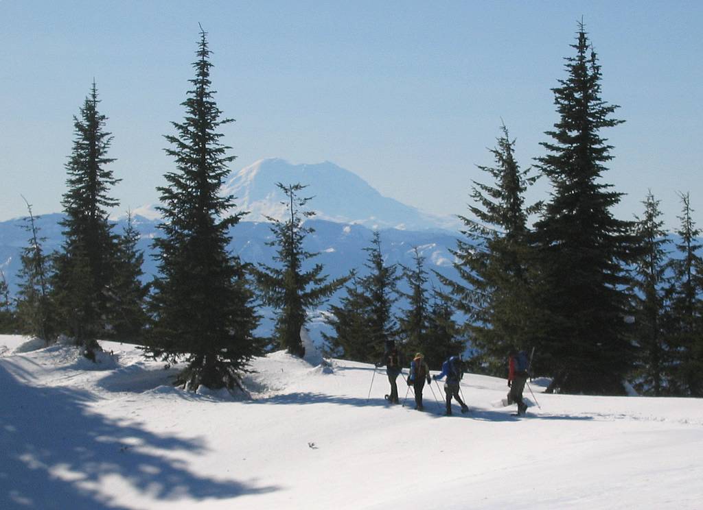
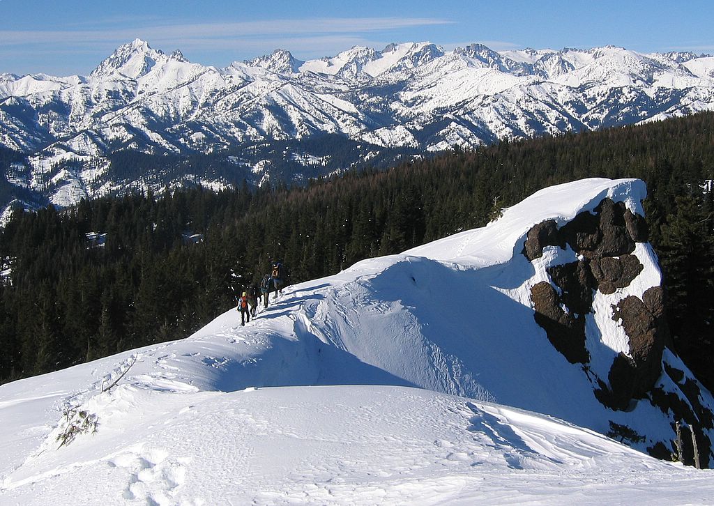
We simply followed the ridge west over Point 4238 and up and down a couple other points toward Point 4993. Occasionally we could follow unmapped roads near the crest. We bypassed Point 4993 by traversing its south side at 4700 feet and reaching a logging road in the col southeast of the point. Then we followed the road past another col circa 4800 and headed west and southwest up through the woods till we reached the crest of Teanaway Ridge. From there we followed the ridge south to the summit outcrop. Just before the summit, we passed the summer trailhead sign, buried almost to its top in the snow.
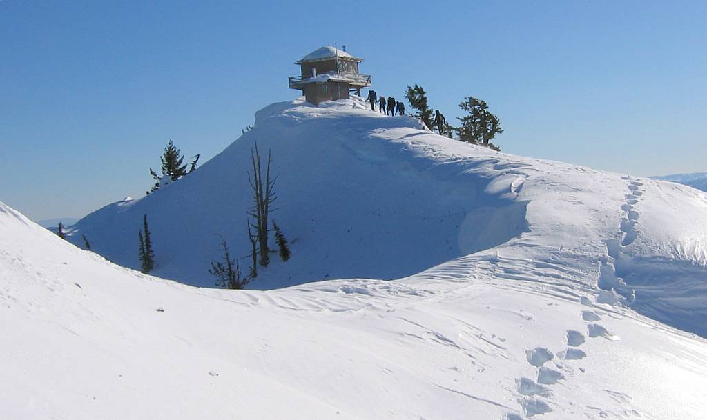
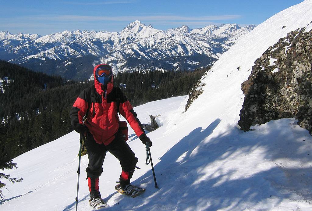
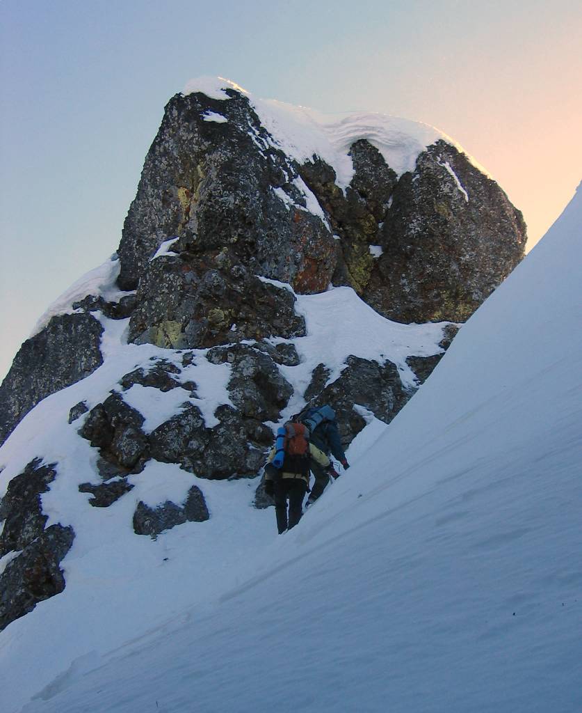
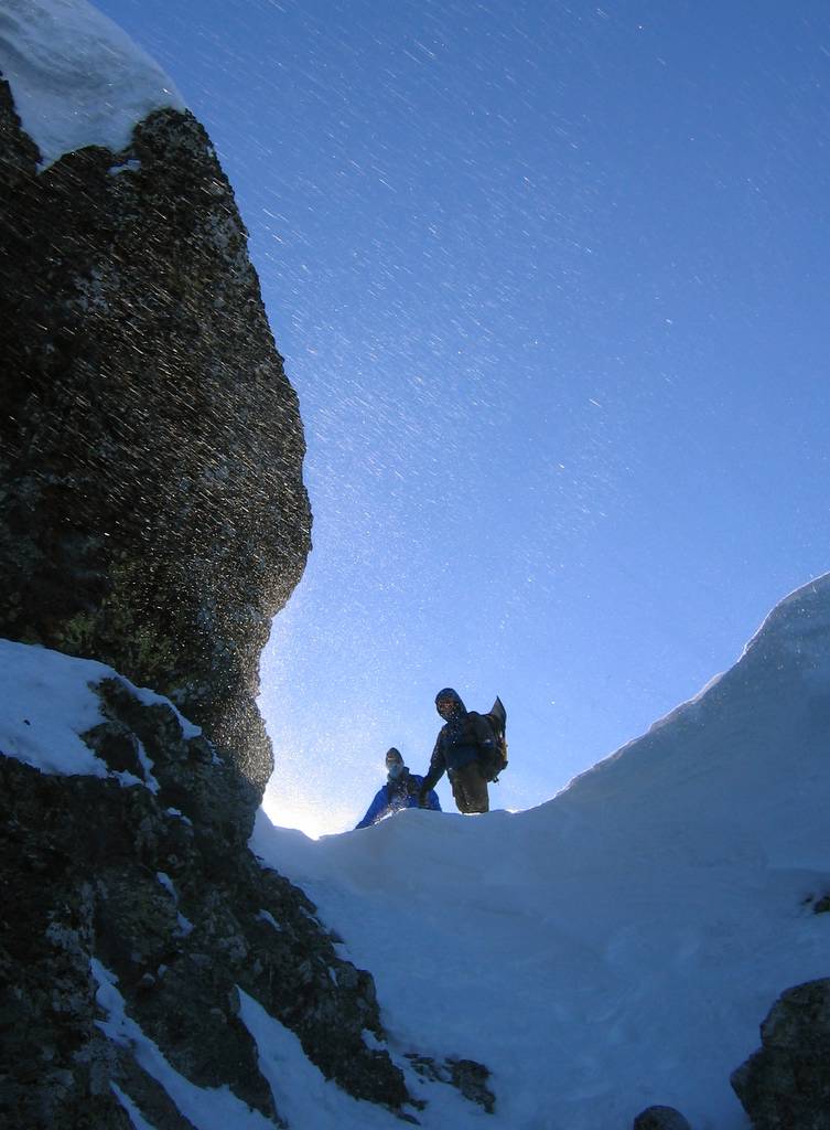
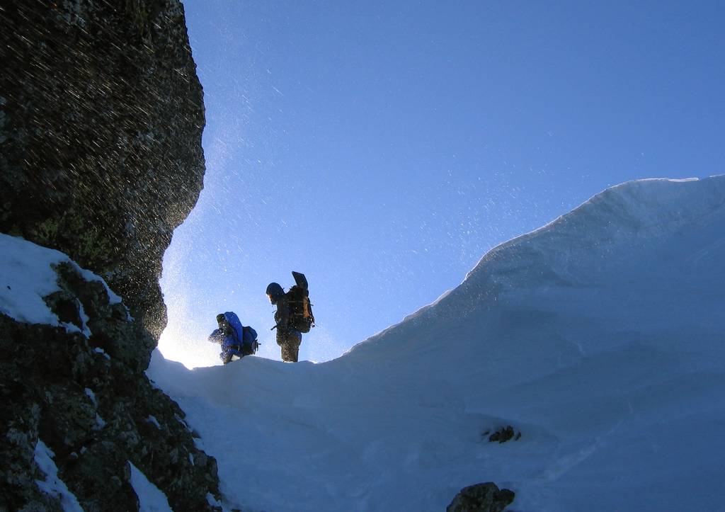
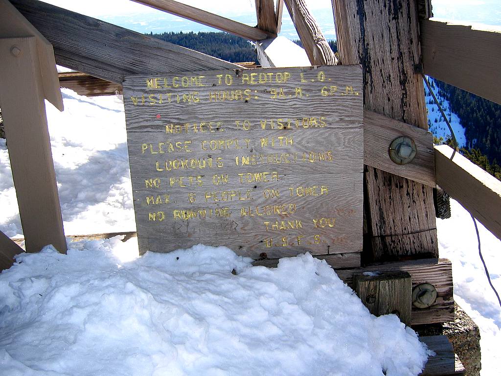
The summit outcrop looked intimidating, bounded by very steep slopes and rock cliffs. Luckily Richard had been here before and knew we could go directly up to and around the rock on the near end of the summit ridge. After a short steep snow pitch, we came up around the rock and were on an easy crest to the lookout.
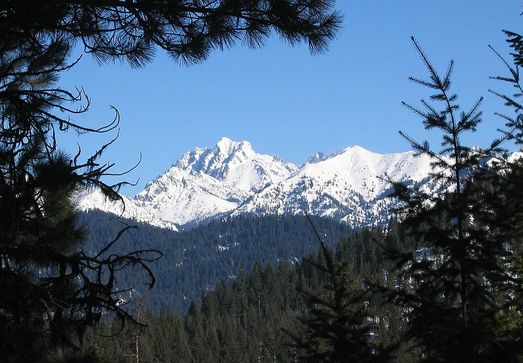
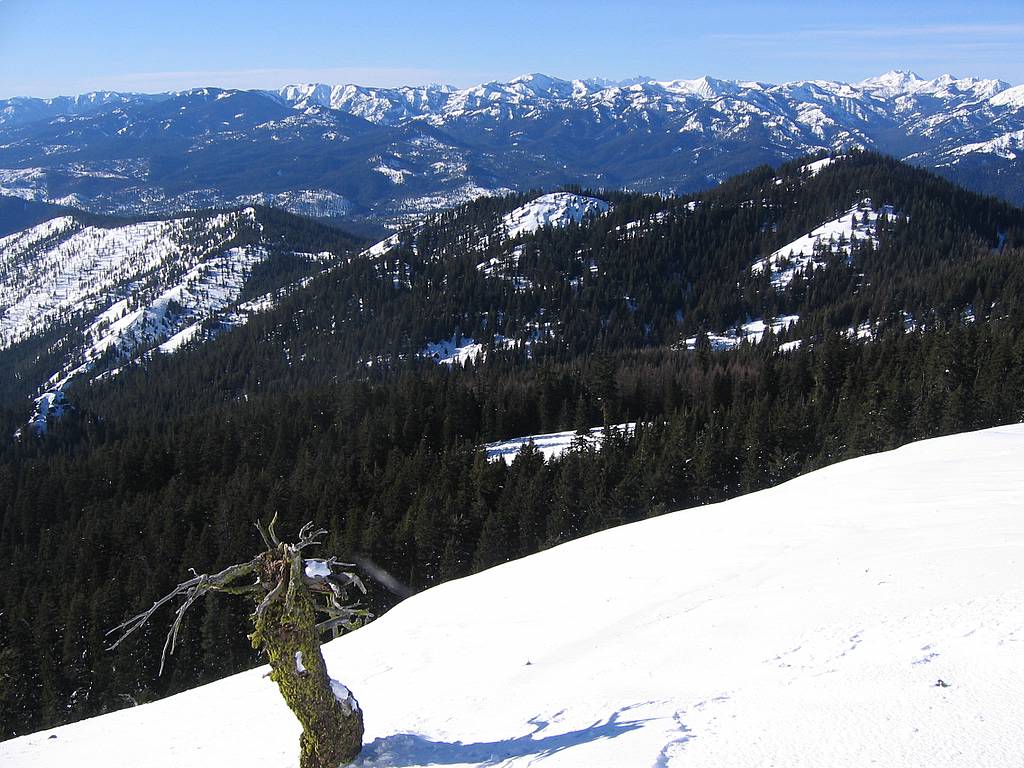
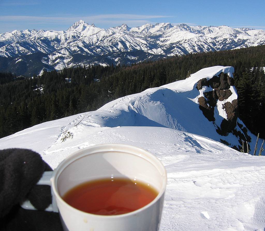
The weather at the lookout was cold enough that we kept all our gear on and stayed a fairly short time. The views included Rainier to the southwest and the Stuart Range north of us, with the Teanaway peaks in the foreground.
|
|
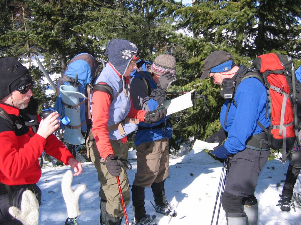
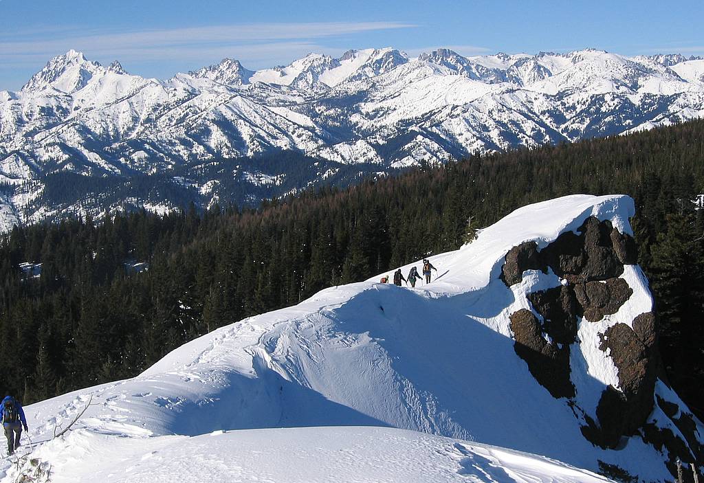
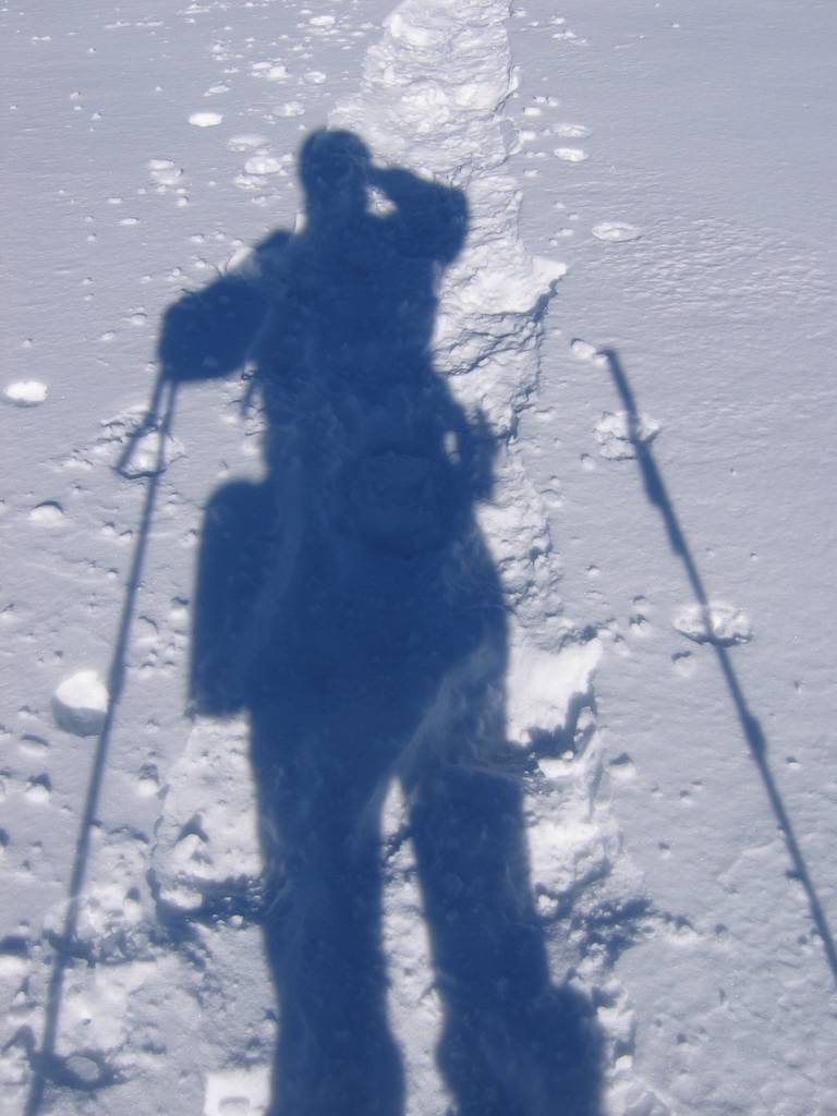
Navigating on the road beyond Point 4993
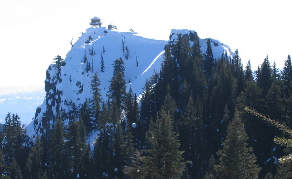
Intimidating view of the summit
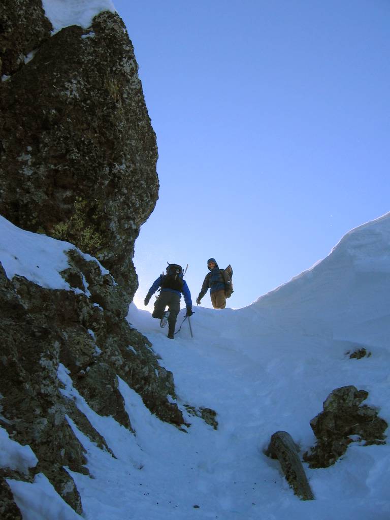
A brief steep pitch to the summit ridge |
|||||||||||||||||||||||||||||||||||||||||||||||||||||||||||||||||||||||||
|
|
|
|
|||||||||||||||||||||||||||||||||||||||||||||||||||||||||||||||||||||||||
|
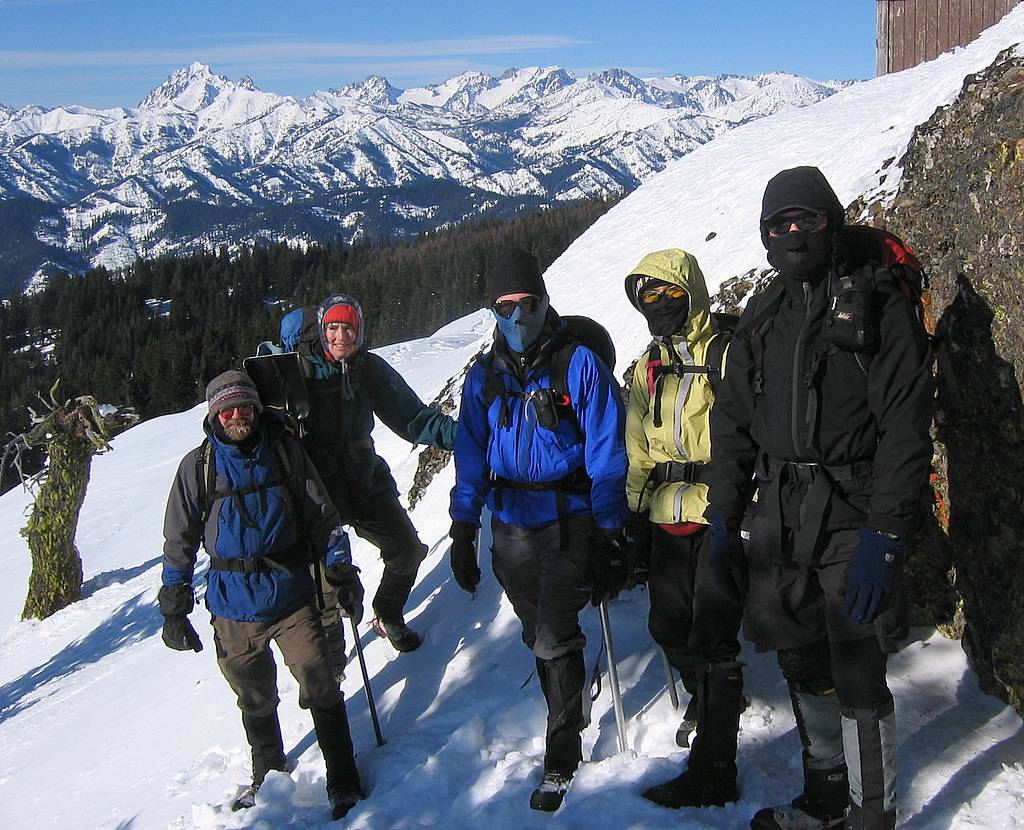
Everyone Well-Covered at the Summit
Departing toward the steep edge of the summit with Stuart Range behind |
|||||||||||||||||||||||||||||||||||||||||||||||||||||||||||||||||||||||||||
|
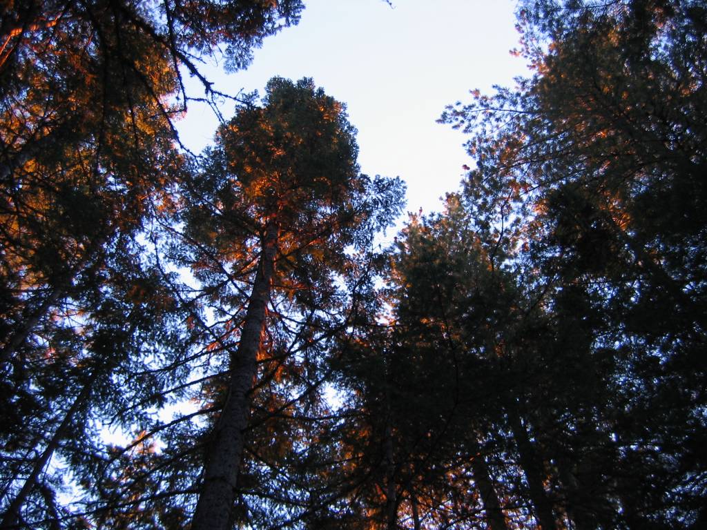
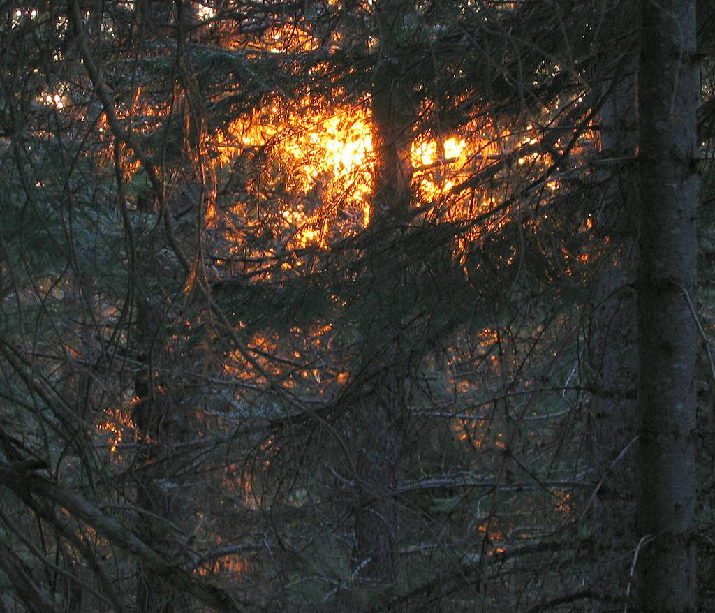
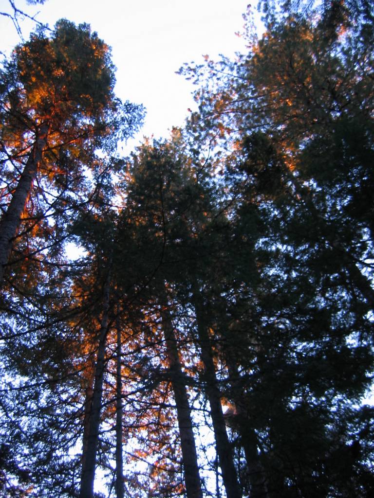
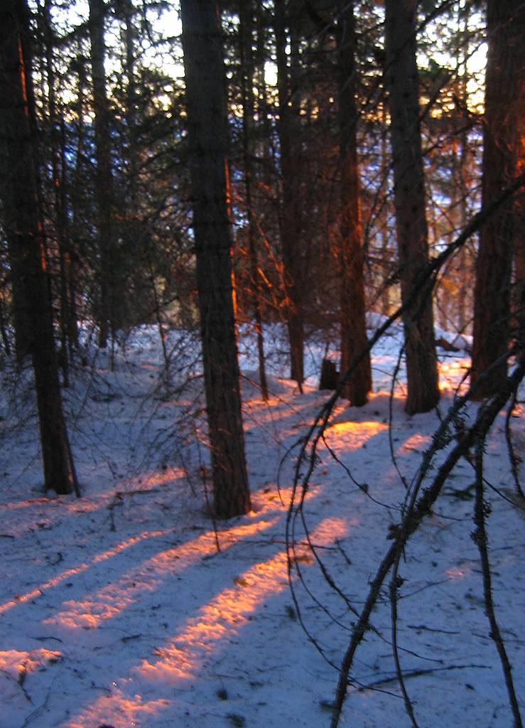
We exited by retracting our route along most of the ridge. On the last stretch, the sunset caught up with us while we were in the forest. The bright red light was angling low through the trees, lighting the edges and undersides of the branches so that the trees glowed deep red like they were fire-lit around me. At the very end, we deviated northward from the crest and dropped down to Prince Creek, where we put on our headlamps and followed the road back to the cars. |
|
Trees burning in sunset light |
|||||||||||||||||||||||||||||||||||||||||||||||||||||||||||||||||||||||||
|
|
|||||||||||||||||||||||||||||||||||||||||||||||||||||||||||||||||||||||||||
|
Statistics: 13 miles round trip. Road 2450, summit 5361. Net gain 2900, loss en route 650, cumulative gain 4200. Up 5:50, summit 0:20, down 3:40, total 9:50 hours.
Pictures
& Maps:
|
|||||||||||||||||||||||||||||||||||||||||||||||||||||||||||||||||||||||||||
|
|
|||||||||||||||||||||||||||||||||||||||||||||||||||||||||||||||||||||||||||